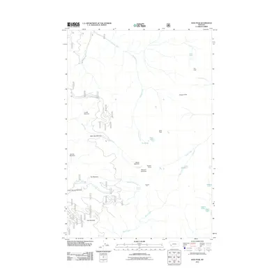
2011 Map of Kent Peak
USGS Topo · Published 2011About this map
Kent Peak and Fox Peak dominate the high terrain in this section of the Bitterroot National Forest, which is characterized by a high-altitude network of creek drainages and alpine meadows. High basins serve as the source for the Ross Fork and Skalkaho Creek, while numerous named meadows like Coyote Meadows, Water Sign Meadows, and Gods Little Acre Meadows suggest the seasonal importance of these openings in the timber. Evidence of human presence is sparse and concentrated near established forest routes, noted most specifically by the Lost Tooth Cabin near the headwaters of Sleeping Child Creek. The southeastern corner of the quadrangle reveals a cluster of high-country lakes, including Lake Abundance, Charity Lake, and Hope Lake, which are accessible via timber service roads and trails branching off from Skalkaho Rye Rd.
Find a feature on this map
56 named features on this map. Tap any name to fly to it.
Don’t see what you’re looking for? This feature index may not catch every label — zoom into the map to look around manually.
Map Details
Editions of this 2011 Kent Peak Map
This is the sole edition of this map. No revisions or reprints were ever made.
Other maps of this area

1909 · Sapphire
USGS Topo · 1:125,000

1947 · Butte
USGS Topo · 1:250,000

1955 · Dillon
USGS Topo · 1:250,000

1957 · Dillon
USGS Topo · 1:250,000

1958 · Butte
USGS Topo · 1:250,000

1958 · Dillon
USGS Topo · 1:250,000

1960 · Butte
USGS Topo · 1:250,000

1962 · Butte
USGS Topo · 1:250,000

1962 · Dillon
USGS Topo · 1:250,000

1965 · Dillon
USGS Topo · 1:250,000