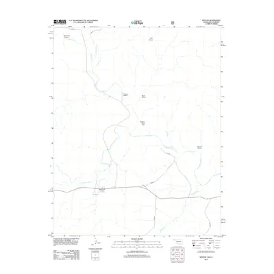
2012 Map of Kenton
USGS Topo · Published 2012About this map
Kenton sits at the heart of this high plains landscape where the Cimarron River winds through the far western tip of the Oklahoma Panhandle. This 2012 survey illustrates a terrain defined by deep incisions and prominent mesas, including the notable Robbers Roost Peak. The settlement is served by a network of rural roads such as d0054 RD and d0048 RD, which cross over Tesesquite Cr and other ephemeral drainages. For local historians and genealogists, the Kenton Cemetery is a primary landmark for tracing early families in this corner of Cimarron County. To the north, the topography becomes increasingly complex with features like Blacksmith Canyon and Tharp Canyon flanking the Colorado border, while N Carrizo Cr and Coopers Arroyo channel water toward the river valley below. The map captures the quiet, enduring character of this borderland region.
Find a feature on this map
18 named features on this map. Tap any name to fly to it.
Don’t see what you’re looking for? This feature index may not catch every label — zoom into the map to look around manually.
Map Details
Editions of this 2012 Kenton Map
This is the sole edition of this map. No revisions or reprints were ever made.
Other maps of this area

1891 · Springfield
USGS Topo · 1:125,000

1892 · Mt Carrizo
USGS Topo · 1:125,000

1893 · Springfield
USGS Topo · 1:125,000

1954 · Dalhart
USGS Topo · 1:250,000

1955 · La Junta
USGS Topo · 1:250,000

1958 · La Junta
USGS Topo · 1:250,000

1958 · Dalhart
USGS Topo · 1:250,000

1962 · Dalhart
USGS Topo · 1:250,000

1968 · La Junta
USGS Topo · 1:250,000

1968 · Kenton
USGS Topo · 1:24,000