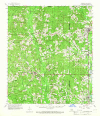
1958 Map of Kentwood
USGS Topo · Published 1965About this map
Greensburg and Kentwood anchor this mid-century survey of the Florida Parishes, where the Illinois Central railroad corridor connects a string of timber and agricultural towns including Tangipahoa, Fluker, and Roseland. The landscape is defined by the complex drainage systems of the Tickfaw and Natalbany rivers, with the terrain marked by numerous family cemeteries such as Womack-Bickham Cem, Strickland Cem, and Brumfield Cem. The map reveals a dense network of country churches and rural schools, like New Zion Sch and Huff Chapel, that served these isolated communities before the era of modern consolidation. Of particular note for historians is the location of Camp Moore Cem near the railroad, a site of significant regional importance, and the Liverpool Lookout tower standing watch over the pine-heavy hills of St. Helena Parish.
Find a feature on this map
129 named features on this map. Tap any name to fly to it.
Don’t see what you’re looking for? This feature index may not catch every label — zoom into the map to look around manually.
Map Details
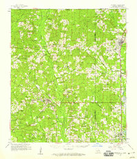
Editions of this 1958 Kentwood Map
2 editions found
Other maps of this area

1940 · Spring Creek
USGS Topo · 1:31,680

1940 · Roseland
USGS Topo · 1:31,680

1941 · Gilead
USGS Topo · 1:31,680

1941 · Chipola
USGS Topo · 1:31,680

1942 · Roseland
USGS Topo · 1:31,680

1942 · Montpelier
USGS Topo · 1:31,680

1942 · Liverpool
USGS Topo · 1:31,680

1942 · Loranger
USGS Topo · 1:31,680

1942 · Pine Grove
USGS Topo · 1:31,680

1942 · Gilead
USGS Topo · 1:31,680