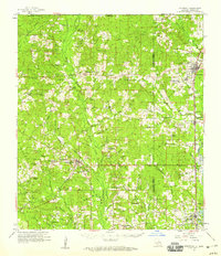
1958 Map of Kentwood
USGS Topo · Published 1959About this map
The Illinois Central railroad corridor anchors the eastern edge of this landscape, connecting the bustling timber and agricultural hubs of Kentwood, Arcola, and Roseland. This late 1950s survey documents a region defined by its dense network of family-named cemeteries and rural institutions, such as Camp Moore Cem and the Dillon High Sch. West of the rail line, the terrain becomes increasingly intricate as the Amite River and its numerous tributaries, including Darling Creek and Beaver Creek, carve through the piney woods.
Find a feature on this map
113 named features on this map. Tap any name to fly to it.
Don’t see what you’re looking for? This feature index may not catch every label — zoom into the map to look around manually.
Map Details
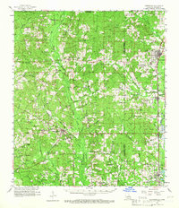
Editions of this 1958 Kentwood Map
2 editions found
Other maps of this area

1940 · Spring Creek
USGS Topo · 1:31,680

1940 · Roseland
USGS Topo · 1:31,680

1941 · Gilead
USGS Topo · 1:31,680

1941 · Chipola
USGS Topo · 1:31,680

1942 · Roseland
USGS Topo · 1:31,680

1942 · Montpelier
USGS Topo · 1:31,680

1942 · Liverpool
USGS Topo · 1:31,680

1942 · Loranger
USGS Topo · 1:31,680

1942 · Pine Grove
USGS Topo · 1:31,680

1942 · Gilead
USGS Topo · 1:31,680