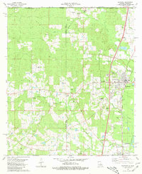
1980 Map of Kentwood
USGS Topo · Published 1981About this map
Camp Moore Confederate Cem stands near the town of Tangipahoa, anchoring a landscape deeply tied to regional history and the Illinois Central Gulf rail corridor. This 1980 survey reveals the complex drainage of the Amite River basin, where water bodies like Terrys Creek, Spring Creek, and Beaver Creek define the timbered terrain. The area is dense with family and community landmarks, particularly a high concentration of cemeteries including the Varnado Cem, Bond Cem, and Strickland Cem, which serve as vital markers for genealogical research in this part of the Louisiana-Mississippi borderlands.
Find a feature on this map
59 named features on this map. Tap any name to fly to it.
Don’t see what you’re looking for? This feature index may not catch every label — zoom into the map to look around manually.
Map Details
Editions of this 1980 Kentwood Map
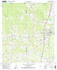
2 editions found
Other maps of this area

1940 · Spring Creek
USGS Topo · 1:31,680

1940 · Roseland
USGS Topo · 1:31,680

1942 · Roseland
USGS Topo · 1:31,680

1942 · Liverpool
USGS Topo · 1:31,680

1949 · Bolivar
USGS Topo · 1:31,680

1950 · Kentwood
USGS Topo · 1:31,680

1950 · Greensburg
USGS Topo · 1:31,680

1953 · Natchez
USGS Topo · 1:250,000

1954 · Baton Rouge
USGS Topo · 1:250,000

1956 · Natchez
USGS Topo · 1:250,000