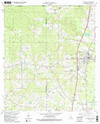
1980 Map of Kentwood
USGS Topo · Published 1981About this map
St Helena Parish and Tangipahoa Parish meet along this 1980 survey, which captures the Louisiana-Mississippi borderlands during a period of steady rural development. The Illinois Central Gulf railroad serves as the primary north-south spine, anchoring the towns of Kentwood and Tangipahoa. This corridor reflects the deep-rooted settlement patterns of the region, where family legacies are marked by an exceptional density of private burial grounds. Genealogists can trace local lineages through sites such as the Bond Cem, Varnado Cem, and Amacker Cem. Near the southern edge of Kentwood, the Camp Moore Confederate Cem stands as a significant landmark of state history. Away from the rail line, the landscape is defined by the winding paths of Terrys Creek and Beaver Creek, with several Gravel Pits indicating the local extractive industry of the era.
Find a feature on this map
51 named features on this map. Tap any name to fly to it.
Don’t see what you’re looking for? This feature index may not catch every label — zoom into the map to look around manually.
Map Details
Editions of this 1980 Kentwood Map
2 editions found
Other maps of this area

1940 · Spring Creek
USGS Topo · 1:31,680

1940 · Roseland
USGS Topo · 1:31,680

1942 · Roseland
USGS Topo · 1:31,680

1942 · Liverpool
USGS Topo · 1:31,680

1949 · Bolivar
USGS Topo · 1:31,680

1950 · Kentwood
USGS Topo · 1:31,680

1950 · Greensburg
USGS Topo · 1:31,680

1953 · Natchez
USGS Topo · 1:250,000

1954 · Baton Rouge
USGS Topo · 1:250,000

1956 · Natchez
USGS Topo · 1:250,000