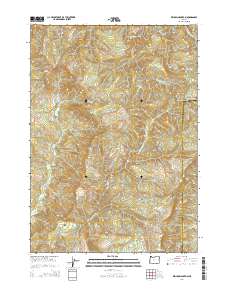
2014 Map of Kenyon Mountain
USGS Topo · Published 2014About this map
Kenyon Mountain stands as a prominent landmark in this 2014 topographic study of the borderlands between Coos and Douglas Counties. The landscape is defined by the headwaters of several drainages, including the branching reaches of Camas Cr and the westward-flowing Sandy Cr. The map details a complex network of forest roads and resource management tracks, such as Signal Tree Rd and Sandy Creek Rd, which provide access to the timberlands across the peaks of Scott Mtn and Thomas Mtn.
Find a feature on this map
19 named features on this map. Tap any name to fly to it.
Don’t see what you’re looking for? This feature index may not catch every label — zoom into the map to look around manually.
Map Details
Editions of this 2014 Kenyon Mountain Map
This is the sole edition of this map. No revisions or reprints were ever made.
Other maps of this area

1928 · Sitkum
USGS Topo · 1:125,000

1946 · Dutchman Butte
USGS Topo · 1:62,500

1948 · Dutchman Butte
USGS Topo · 1:62,500

1954 · Bone Mountain
USGS Topo · 1:62,500

1955 · Camas Valley
USGS Topo · 1:62,500

1955 · Sitkum
USGS Topo · 1:62,500

1955 · Medford
USGS Topo · 1:250,000

1957 · Medford
USGS Topo · 1:250,000

1958 · Medford
USGS Topo · 1:250,000

1958 · Roseburg
USGS Topo · 1:250,000