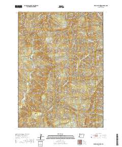
2020 Map of Kenyon Mountain
USGS Topo · Published 2020About this map
Kenyon Mtn and Scott Mtn define the high terrain of this portion of the Coast Range, where the boundary between Coos Co and Douglas Co follows the local ridgelines. The landscape is deeply carved by a network of drainage systems, including Upper Rock Cr and the various branches of Camas Creek. This 2020 edition provides a modern record of the infrastructure supporting the region's timber and land management economy, with a dense grid of Bureau of Land Management routes such as BLM RD 29-9-3.2 and BLM RD 29-6-36.0 providing access to the steep slopes. While few structures are named, the preservation of traditional place names like Split Mtn and Thomas Mtn maintains a link to the early surveying history of this forested interior.
Find a feature on this map
20 named features on this map. Tap any name to fly to it.
Don’t see what you’re looking for? This feature index may not catch every label — zoom into the map to look around manually.
Map Details
Editions of this 2020 Kenyon Mountain Map
This is the sole edition of this map. No revisions or reprints were ever made.
Other maps of this area

1928 · Sitkum
USGS Topo · 1:125,000

1946 · Dutchman Butte
USGS Topo · 1:62,500

1948 · Dutchman Butte
USGS Topo · 1:62,500

1954 · Bone Mountain
USGS Topo · 1:62,500

1955 · Camas Valley
USGS Topo · 1:62,500

1955 · Sitkum
USGS Topo · 1:62,500

1955 · Medford
USGS Topo · 1:250,000

1957 · Medford
USGS Topo · 1:250,000

1958 · Medford
USGS Topo · 1:250,000

1958 · Roseburg
USGS Topo · 1:250,000