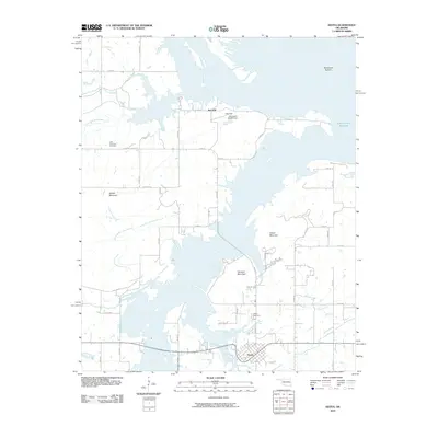
2010 Map of Keota
USGS Topo · Published 2010About this map
Keota serves as the central hub for this Oklahoma landscape, situated south of the sprawling Robert S Kerr Reservoir. The region is defined by the heavy presence of the Arkansas River as it winds through lowlands like Mulehead Bottom and meets tributaries such as Little Sans Bois Creek and Elm Branch. The terrain rises sharply from these river basins into several prominent heights, including Hancock Mountain, Foliart Mountain, and Bellow Mountain.
Find a feature on this map
41 named features on this map. Tap any name to fly to it.
Don’t see what you’re looking for? This feature index may not catch every label — zoom into the map to look around manually.
Map Details
Editions of this 2010 Keota Map
This is the sole edition of this map. No revisions or reprints were ever made.
Other maps of this area

1900 · Sansbois
USGS Topo · 1:125,000

1900 · Sallisaw
USGS Topo · 1:125,000

1909 · Sans Bois
USGS Topo · 1:125,000

1911 · Sallisaw
USGS Topo · 1:125,000

1911 · Sansbois
USGS Topo · 1:125,000

1946 · Fort Smith
USGS Topo · 1:250,000

1962 · Stigler East
USGS Topo · 1:24,000
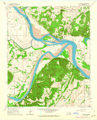
1963 · Stigler NE
USGS Topo · 1:24,000
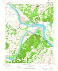
1964 · Stigler NE
USGS Topo · 1:24,000

1965 · Fort Smith
USGS Topo · 1:250,000