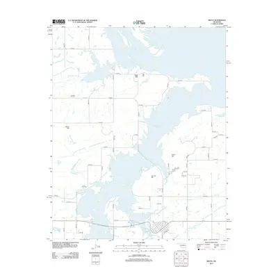
2012 Map of Keota
USGS Topo · Published 2012About this map
The town of Keota and the sprawling waters of the Robert S Kerr Reservoir dominate this landscape, where the flat, flooded lowlands of the Arkansas River basin meet the rising elevations of the Cookson Hills. This 2012 survey illustrates the modern topography of Haskell County, shaped by the massive water control projects of the mid-20th century. While the reservoir has altered much of the local geography, several elevated peaks remain as prominent landmarks, including Bellow Mtn, Foliart Mtn, and Hancock Mtn.
Find a feature on this map
47 named features on this map. Tap any name to fly to it.
Don’t see what you’re looking for? This feature index may not catch every label — zoom into the map to look around manually.
Map Details
Editions of this 2012 Keota Map
This is the sole edition of this map. No revisions or reprints were ever made.
Other maps of this area

1900 · Sansbois
USGS Topo · 1:125,000

1900 · Sallisaw
USGS Topo · 1:125,000

1909 · Sans Bois
USGS Topo · 1:125,000

1911 · Sallisaw
USGS Topo · 1:125,000

1911 · Sansbois
USGS Topo · 1:125,000

1946 · Fort Smith
USGS Topo · 1:250,000

1962 · Stigler East
USGS Topo · 1:24,000
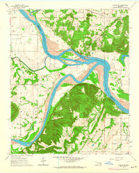
1963 · Stigler NE
USGS Topo · 1:24,000
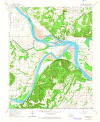
1964 · Stigler NE
USGS Topo · 1:24,000

1965 · Fort Smith
USGS Topo · 1:250,000