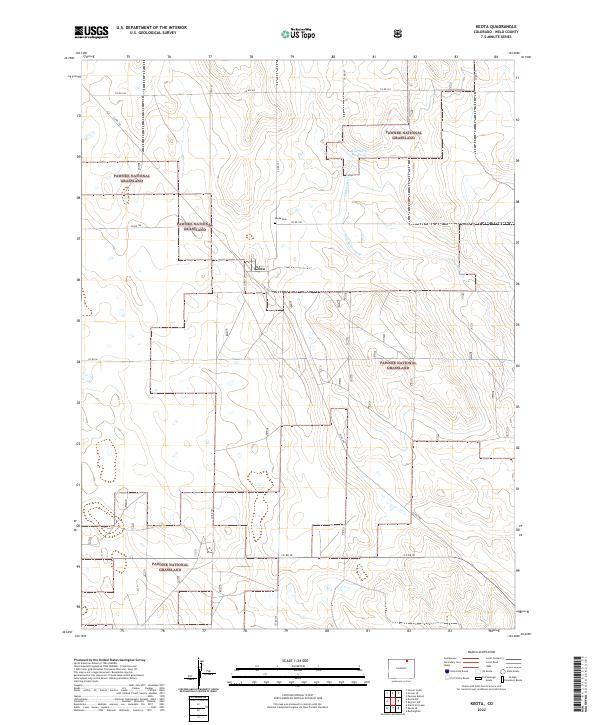
2022 Map of Keota
USGS Topo · Published 2022About this map
Keota stands as the central settlement within this expansive section of the Pawnee National Grassland in Weld County. This high plains landscape is defined by its characteristic section-line road network, including Co RD 100 and Co RD 90, which segment the terrain into a predictable grid typical of western land management. The presence of the Keota Cem just north of the townsite provides a vital anchor for genealogists tracing families from this corner of Colorado.
Find a feature on this map
17 named features on this map. Tap any name to fly to it.
Don’t see what you’re looking for? This feature index may not catch every label — zoom into the map to look around manually.
Map Details
Editions of this 2022 Keota Map
This is the sole edition of this map. No revisions or reprints were ever made.
Other maps of this area

1954 · Sterling
USGS Topo · 1:250,000

1954 · Greeley
USGS Topo · 1:250,000

1957 · Greeley
USGS Topo · 1:250,000

1958 · Greeley
USGS Topo · 1:250,000

1958 · Sterling
USGS Topo · 1:250,000

1961 · Greeley
USGS Topo · 1:250,000

1964 · Greeley
USGS Topo · 1:250,000

1965 · Greeley
USGS Topo · 1:250,000

1972 · Dutch Girl Lake
USGS Topo · 1:24,000
1972 · Keota SE
USGS Topo · 1:24,000