1972 Map of Keota SE
USGS Topo · Published 1974About this map
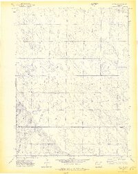
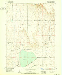
The northern High Plains landscape of the Colorado borderlands is defined by a subtle topography of draws and sparse water sources in this 1972 survey. The terrain is marked by the presence of numerous wells and the occasional Drill Hole, reflecting the region's reliance on underground resources for agriculture and industry. A notable landmark for local historians and genealogists is the Horst Cem, which sits along the gentle rise of the land. The map also delineates the jurisdictional boundary between Weld Co and Morgan Co, showing how political lines bisect this open country. In the southwestern corner, the drainage of Bank Draw provides a rare relief to the landscape, carving a seasonal path through the prairie. This sheet documents the state of land use and resource extraction in a quiet corner of the state just before more modern developments would further alter the rural grid.
Find a feature on this map
5 named features on this map. Tap any name to fly to it.
Don’t see what you’re looking for? This feature index may not catch every label — zoom into the map to look around manually.
Map Details
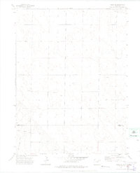
Editions of this 1972 Keota SE Map
3 editions found

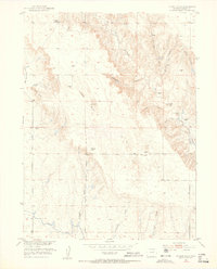
Other maps of this area

1950 · Greasewood Lake
USGS Topo · 1:24,000
1951 · Sunken Lake
USGS Topo · 1:24,000
1951 · Judson Hills
USGS Topo · 1:24,000

1954 · Sterling
USGS Topo · 1:250,000

1954 · Greeley
USGS Topo · 1:250,000

1957 · Greeley
USGS Topo · 1:250,000

1958 · Greeley
USGS Topo · 1:250,000

1958 · Sterling
USGS Topo · 1:250,000

1961 · Greeley
USGS Topo · 1:250,000

1964 · Greeley
USGS Topo · 1:250,000