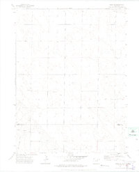
1972 Map of Keota SE
USGS Topo · Published 1975About this map
Horst Cem serves as a small but significant local landmark in this open ranchland on the border of Weld and Morgan counties. The landscape is defined by its wide, dry expanses, cut through by the meandering course of Coal Bank Draw. Scattered across the terrain are several industrial markers, including various Wells and a specific Drill Hole, reflecting the area's mid-century ties to subsurface exploration. The boundary line for Weld Co Morgan Co bisects the lower portion of the survey, where the elevation is punctuated by isolated high points such as Doll. This sheet offers a clean look at the rural section corners and fence lines that organized Colorado's eastern plains in the early 1970s.
Find a feature on this map
6 named features on this map. Tap any name to fly to it.
Don’t see what you’re looking for? This feature index may not catch every label — zoom into the map to look around manually.
Map Details
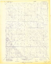
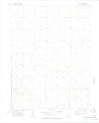
Editions of this 1972 Keota SE Map
3 editions found
Other maps of this area

1950 · Greasewood Lake
USGS Topo · 1:24,000

1951 · Sunken Lake
USGS Topo · 1:24,000

1951 · Judson Hills
USGS Topo · 1:24,000

1954 · Sterling
USGS Topo · 1:250,000

1954 · Greeley
USGS Topo · 1:250,000

1957 · Greeley
USGS Topo · 1:250,000

1958 · Greeley
USGS Topo · 1:250,000

1958 · Sterling
USGS Topo · 1:250,000

1961 · Greeley
USGS Topo · 1:250,000

1964 · Greeley
USGS Topo · 1:250,000