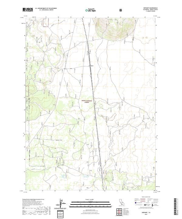
2021 Map of Kephart
USGS Topo · Published 2021About this map
Modoc National Forest encompasses the majority of this High Desert landscape, characterized by isolated water sources and volcanic terrain features. The settlement of Kephart is located along a network of tracks including the Bench and Bench Spur, serving as a central point in an area defined more by its natural landmarks than dense population. To the north, the elevation rises toward Timber Mtn, while the southern reaches of the map transition into the expansive Mud Flats. The importance of water in this arid environment is evident by the presence of Quaking Aspen Spring and Little Quaking Aspen Spring near the southern border. These springs, alongside seasonal drainages and routes like Mud Spring and Refuge North, show the historic reliance on specific reliable water points for travel and land management in northeastern California.
Find a feature on this map
17 named features on this map. Tap any name to fly to it.
Don’t see what you’re looking for? This feature index may not catch every label — zoom into the map to look around manually.
Map Details
Editions of this 2021 Kephart Map
This is the sole edition of this map. No revisions or reprints were ever made.
Other maps of this area

1886 · Modoc Lava Bed
USGS Topo · 1:250,000

1892 · Modoc Lava-Bed
USGS Topo · 1:250,000

1952 · Timber Mountain
USGS Topo · 1:62,500

1952 · Hackamore
USGS Topo · 1:62,500

1954 · Alturas
USGS Topo · 1:250,000

1958 · Alturas
USGS Topo · 1:250,000

1962 · Alturas
USGS Topo · 1:250,000

1962 · Crank Mountain
USGS Topo · 1:62,500

1962 · White Horse
USGS Topo · 1:62,500

1965 · Alturas
USGS Topo · 1:250,000