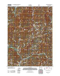
2011 Map of Kerby Peak
USGS Topo · Published 2011About this map
Paradise Mine and a cluster of nearby workings define the industrial character of this southwestern Oregon landscape. The terrain is marked by steep ridges and narrow gulches where mining activity flourished, evidenced by the Gold Pan Placer Mine, Little Jim Mine, and the Gem Quartz Mine situated near the confluence of Grayback Creek and Sucker Creek. These waterways, along with Lake Creek, flow through a region defined by prominent peaks such as Kerby Peak and Squaw Mountain.
Find a feature on this map
96 named features on this map. Tap any name to fly to it.
Don’t see what you’re looking for? This feature index may not catch every label — zoom into the map to look around manually.
Map Details
Editions of this 2011 Kerby Peak Map
This is the sole edition of this map. No revisions or reprints were ever made.
Other maps of this area

1908 · Grants Pass
USGS Topo · 1:125,000

1917 · Kerby
USGS Topo · 1:125,000

1918 · Kerby
USGS Topo · 1:125,000

1945 · Kerby
USGS Topo · 1:125,000

1954 · Cave Junction
USGS Topo · 1:62,500

1954 · Oregon Caves
USGS Topo · 1:62,500

1954 · Selma
USGS Topo · 1:62,500

1954 · Grants Pass
USGS Topo · 1:62,500

1955 · Medford
USGS Topo · 1:250,000

1957 · Medford
USGS Topo · 1:250,000