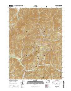
2014 Map of Kerby Peak
USGS Topo · Published 2014About this map
Kerby Peak rises as a central landmark within the Siskiyou National Forest, marking a landscape defined by dramatic elevation changes and a dense network of watercourses. The map reveals the complex drainage systems of Sucker Creek, Grayback Cr, and Little Grayback Cr, which have carved deep features like Lost Canyon and Johnson Gulch into the Siskiyou Mountains. Small named sites such as Oregon Bar and Cedar Flat provide points of reference among the high ridges of Little Grayback Peak and Holcomb Peak. This survey details the extensive forest infrastructure used for management and access, including Caves Hwy, Little Grayback Rd, and numerous specialized routes like Nat For Dev Rd 4611. The arrangement of these roads and trails illustrates how the remote terrain is navigated for conservation and resource oversight.
Find a feature on this map
52 named features on this map. Tap any name to fly to it.
Don’t see what you’re looking for? This feature index may not catch every label — zoom into the map to look around manually.
Map Details
Editions of this 2014 Kerby Peak Map
This is the sole edition of this map. No revisions or reprints were ever made.
Other maps of this area

1908 · Grants Pass
USGS Topo · 1:125,000

1917 · Kerby
USGS Topo · 1:125,000

1918 · Kerby
USGS Topo · 1:125,000

1945 · Kerby
USGS Topo · 1:125,000

1954 · Cave Junction
USGS Topo · 1:62,500

1954 · Oregon Caves
USGS Topo · 1:62,500

1954 · Selma
USGS Topo · 1:62,500

1954 · Grants Pass
USGS Topo · 1:62,500

1955 · Medford
USGS Topo · 1:250,000

1957 · Medford
USGS Topo · 1:250,000