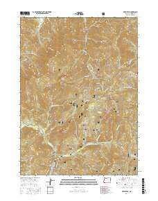
2017 Map of Kerby Peak
USGS Topo · Published 2017About this map
Siskiyou National Forest dominates this mountain landscape in Josephine County, where numerous drainages carve through the high elevations of the Siskiyou Mountains. The terrain is defined by prominent summits such as Kerby Peak, Little Grayback Peak, and Holcomb Peak, reflecting a landscape managed primarily for forest resources and wilderness preservation. Water sources are abundant, with Sucker Creek and Lake Cr flowing through the valleys, while the secluded Rabbit Lake sits nestled below the peaks.
Find a feature on this map
62 named features on this map. Tap any name to fly to it.
Don’t see what you’re looking for? This feature index may not catch every label — zoom into the map to look around manually.
Map Details
Editions of this 2017 Kerby Peak Map
This is the sole edition of this map. No revisions or reprints were ever made.
Other maps of this area

1908 · Grants Pass
USGS Topo · 1:125,000

1917 · Kerby
USGS Topo · 1:125,000

1918 · Kerby
USGS Topo · 1:125,000

1945 · Kerby
USGS Topo · 1:125,000

1954 · Cave Junction
USGS Topo · 1:62,500

1954 · Oregon Caves
USGS Topo · 1:62,500

1954 · Selma
USGS Topo · 1:62,500

1954 · Grants Pass
USGS Topo · 1:62,500

1955 · Medford
USGS Topo · 1:250,000

1957 · Medford
USGS Topo · 1:250,000