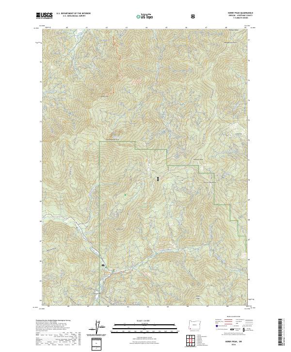
2024 Map of Kerby Peak
USGS Topo · Published 2024About this map
Siskiyou National Forest covers much of this Josephine County terrain, where the northern edge of the Oregon Caves National Monument and Preserve meets high ridgelines and deep drainages. The landscape is defined by the Siskiyou Mountains, including prominent summits like Kerby Peak and Kailapa Mtn. A network of drainage systems such as Sucker Creek and Grayback Creek create narrow corridors where early mining and transit occurred, indicated by place names like Oregon Bar along the water's edge.
Find a feature on this map
58 named features on this map. Tap any name to fly to it.
Don’t see what you’re looking for? This feature index may not catch every label — zoom into the map to look around manually.
Map Details
Editions of this 2024 Kerby Peak Map
This is the sole edition of this map. No revisions or reprints were ever made.
Other maps of this area

1908 · Grants Pass
USGS Topo · 1:125,000

1917 · Kerby
USGS Topo · 1:125,000

1918 · Kerby
USGS Topo · 1:125,000

1945 · Kerby
USGS Topo · 1:125,000

1954 · Cave Junction
USGS Topo · 1:62,500

1954 · Oregon Caves
USGS Topo · 1:62,500

1954 · Selma
USGS Topo · 1:62,500

1954 · Grants Pass
USGS Topo · 1:62,500

1955 · Medford
USGS Topo · 1:250,000

1957 · Medford
USGS Topo · 1:250,000