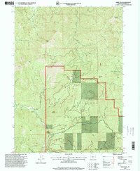
1996 Map of Kerby Peak
USGS Topo · Published 1999About this map
Siskiyou National Forest dominates this mid-1990s survey, illustrating a landscape defined by steep peaks and deep drainages. The area’s economic history is marked by small-scale mineral extraction, with the Boswell Mine located in the south and the Paradise Mine No 1 and Paradise Mine No 2 situated in the northern reaches near South Fork Deer Creek. These sites, along with several scattered Quarry locations, indicate a region shaped by prospecting and resource management within the federal forest boundaries.
Find a feature on this map
33 named features on this map. Tap any name to fly to it.
Don’t see what you’re looking for? This feature index may not catch every label — zoom into the map to look around manually.
Map Details
Editions of this 1996 Kerby Peak Map
This is the sole edition of this map. No revisions or reprints were ever made.
Other maps of this area

1908 · Grants Pass
USGS Topo · 1:125,000

1917 · Kerby
USGS Topo · 1:125,000

1918 · Kerby
USGS Topo · 1:125,000

1945 · Kerby
USGS Topo · 1:125,000

1954 · Cave Junction
USGS Topo · 1:62,500

1954 · Oregon Caves
USGS Topo · 1:62,500

1954 · Selma
USGS Topo · 1:62,500

1954 · Grants Pass
USGS Topo · 1:62,500

1955 · Medford
USGS Topo · 1:250,000

1957 · Medford
USGS Topo · 1:250,000