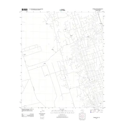
2012 Map of Kermit NW
USGS Topo · Published 2012About this map
Cheyenne and its surrounding agricultural developments anchor this 2012 survey of the Winkler County landscape. The map reveals a highly structured grid of local roads and property boundaries, emphasizing the rural ranching and farming operations of the West Texas Permian Basin. Named locations like Cheyenne Farms and the Walton Ranch are interspersed with essential water infrastructure, marked by a series of specific landmarks such as the Tannybill Windmill, East Simpson Windmill, and Baird Windmill. The network of transit is well-defined by routes including Frying Pan Ranch Rd, Capitan Rd, and Emu Rd. This cartographic record provides a clear view of land use and water management in a region where such resources are vital to local life and industry.
Find a feature on this map
19 named features on this map. Tap any name to fly to it.
Don’t see what you’re looking for? This feature index may not catch every label — zoom into the map to look around manually.
Map Details
Editions of this 2012 Kermit NW Map
This is the sole edition of this map. No revisions or reprints were ever made.
Other maps of this area

1954 · Hobbs
USGS Topo · 1:250,000

1954 · Pecos
USGS Topo · 1:250,000

1957 · Pecos
USGS Topo · 1:250,000

1958 · Hobbs
USGS Topo · 1:250,000

1969 · Jal
USGS Topo · 1:24,000

1969 · Jal SE
USGS Topo · 1:24,000

1970 · Cheyenne Draw
USGS Topo · 1:24,000

1970 · Wink North
USGS Topo · 1:24,000

1970 · Cheyenne Draw SE
USGS Topo · 1:24,000

1970 · Vesrue
USGS Topo · 1:24,000