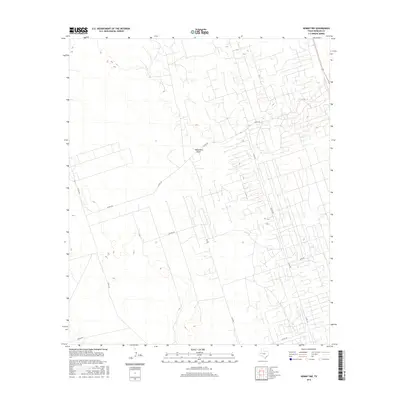
2016 Map of Kermit NW
USGS Topo · Published 2016About this map
Monument Draw cuts through the arid landscape of Winkler County, serving as a primary natural landmark in an area otherwise defined by a geometric grid of rural transit. The landscape reveals a complex network of utility and service roads established for regional industry, including Capitan Rd and Emu Rd. These thoroughfares, along with several county routes like Co Rd 103 and Co Rd 107, highlight the methodical development of the West Texas Permian Basin. The map's topographic detail illustrates the subtle elevation changes of the high plains, showing how the local road system, including the route of N Fm 874, navigates the draw and surrounding terrain during the mid-2010s.
Find a feature on this map
9 named features on this map. Tap any name to fly to it.
Don’t see what you’re looking for? This feature index may not catch every label — zoom into the map to look around manually.
Map Details
Editions of this 2016 Kermit NW Map
This is the sole edition of this map. No revisions or reprints were ever made.
Other maps of this area

1954 · Hobbs
USGS Topo · 1:250,000

1954 · Pecos
USGS Topo · 1:250,000

1957 · Pecos
USGS Topo · 1:250,000

1958 · Hobbs
USGS Topo · 1:250,000

1969 · Jal
USGS Topo · 1:24,000

1969 · Jal SE
USGS Topo · 1:24,000

1970 · Cheyenne Draw
USGS Topo · 1:24,000

1970 · Wink North
USGS Topo · 1:24,000

1970 · Cheyenne Draw SE
USGS Topo · 1:24,000

1970 · Vesrue
USGS Topo · 1:24,000