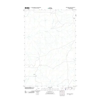
2011 Map of Kerr Cow Camp
USGS Topo · Published 2011About this map
Wendell Post Office stands as a focal point of this northern Valley County landscape, situated near the namesake Kerr Cow Camp in the southwestern portion of the map. This area of Montana is defined by its wide, open drainages and flat uplands, most notably the high ground of Kansas Flats in the northeast. The map provides a detailed view of the regional water network, where Chisholm Creek meanders across the center of the quadrangle while the South Fork Bitter Creek drains the northern reaches. Settlement is sparse, with transportation anchored by Britsch Rd, which winds through the southern terrain. For researchers, the inclusion of the post office and cow camp offers a look at the infrastructure that supported the ranching and rural communications of the early 21st century.
Find a feature on this map
9 named features on this map. Tap any name to fly to it.
Don’t see what you’re looking for? This feature index may not catch every label — zoom into the map to look around manually.
Map Details
Editions of this 2011 Kerr Cow Camp Map
This is the sole edition of this map. No revisions or reprints were ever made.
Other maps of this area

1919 · Boundary
USGS Topo · 1:125,000

1954 · Glasgow
USGS Topo · 1:250,000

1957 · Glasgow
USGS Topo · 1:250,000

1958 · Glasgow
USGS Topo · 1:250,000

1984 · O'Juel Lake
USGS Topo · 1:24,000

1984 · Laundry Hill
USGS Topo · 1:24,000

1984 · Opheim
USGS Topo · 1:100,000

1984 · Gay Dam
USGS Topo · 1:24,000

1984 · Dodge Reservoir
USGS Topo · 1:24,000

1984 · Last Chance Reservoir
USGS Topo · 1:24,000