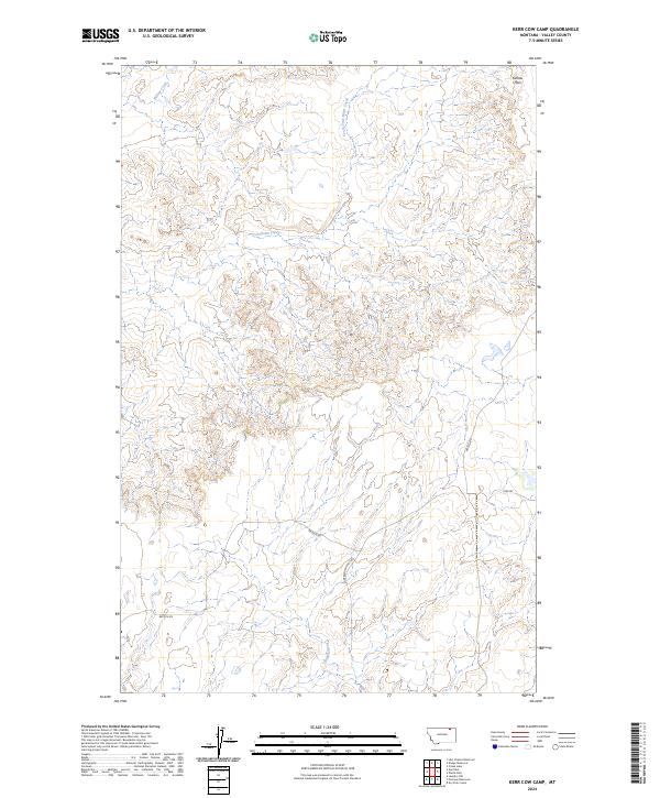
2024 Map of Kerr Cow Camp
USGS Topo · Published 2024About this map
Kansas Flats defines the high ground in this section of the Valley County landscape, where the topography is shaped by a branching network of intermittent drainages. Waterways such as Willow Creek, Chisholm Creek, and the South Fork Bitter Creek cut through the terrain, suggesting a complex watershed that dictates the layout of local travel. To the south, Buggy Creek winds through the lower townships, providing a natural corridor through the prairie.
Find a feature on this map
14 named features on this map. Tap any name to fly to it.
Don’t see what you’re looking for? This feature index may not catch every label — zoom into the map to look around manually.
Map Details
Editions of this 2024 Kerr Cow Camp Map
This is the sole edition of this map. No revisions or reprints were ever made.
Other maps of this area

1919 · Boundary
USGS Topo · 1:125,000

1954 · Glasgow
USGS Topo · 1:250,000

1957 · Glasgow
USGS Topo · 1:250,000

1958 · Glasgow
USGS Topo · 1:250,000

1984 · O'Juel Lake
USGS Topo · 1:24,000

1984 · Laundry Hill
USGS Topo · 1:24,000

1984 · Opheim
USGS Topo · 1:100,000

1984 · Gay Dam
USGS Topo · 1:24,000

1984 · Dodge Reservoir
USGS Topo · 1:24,000

1984 · Last Chance Reservoir
USGS Topo · 1:24,000