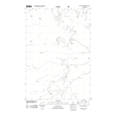
2011 Map of Kessler Creek
USGS Topo · Published 2011About this map
Spotted Horse Mine and the Old Timer Mine stand as markers of historical mineral exploration in this reach of Idaho County, situated among high ridges and deep drainages. The landscape is defined by the headwaters of numerous creeks, including the North Fork Squaw Creek and South Fork Race Creek, which carve through the terrain between landmarks like Bald Mountain and Blue Mountain. Settled areas are nearly non-existent, with only the label for Whiteman appearing in the south.
Find a feature on this map
46 named features on this map. Tap any name to fly to it.
Don’t see what you’re looking for? This feature index may not catch every label — zoom into the map to look around manually.
Map Details
Editions of this 2011 Kessler Creek Map
This is the sole edition of this map. No revisions or reprints were ever made.
Other maps of this area

1922 · He Devil
USGS Topo · 1:48,000

1938 · Riggins
USGS Topo · 1:96,000

1945 · Riggins
USGS Topo · 1:125,000

1954 · Kernan Point
USGS Topo · 1:62,500

1955 · Grangeville
USGS Topo · 1:250,000

1957 · He Devil
USGS Topo · 1:62,500

1959 · Grangeville
USGS Topo · 1:250,000

1963 · Lucile
USGS Topo · 1:24,000

1963 · Kirkwood Creek
USGS Topo · 1:24,000

1964 · Riggins
USGS Topo · 1:24,000