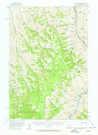
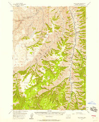
1954 Map of Kernan Point
USGS Topo · Published 1958About this map
Snake River canyon carvings define the eastern boundary of this mid-century survey, where the rugged border between Oregon and Idaho is marked by steep glens and high plateaus. Small, remote agricultural outposts like Litch Ranch, Tryon Creek Ranch, and Brockman Ranch punctuate the landscape, illustrating the survival of isolated livestock operations in the Wallowa country. The map captures a network of seasonal camps and family landmarks, including Dorrance Cow Camp and the Kneeland Place, which served as vital hubs for local ranching families.
Find a feature on this map
108 named features on this map. Tap any name to fly to it.
Don’t see what you’re looking for? This feature index may not catch every label — zoom into the map to look around manually.
Map Details
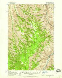
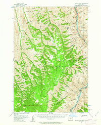
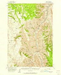
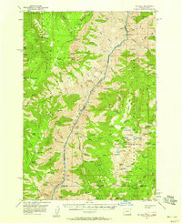
Editions of this 1954 Kernan Point Map
3 editions found
Other maps of this area

1922 · He Devil
USGS Topo · 1:48,000

1938 · Riggins
USGS Topo · 1:96,000

1945 · Riggins
USGS Topo · 1:125,000
1954 · Imnaha
USGS Topo · 1:62,500
1954 · Harl Butte
USGS Topo · 1:62,500

1955 · Grangeville
USGS Topo · 1:250,000
1957 · He Devil
USGS Topo · 1:62,500

1959 · Grangeville
USGS Topo · 1:250,000
1963 · Cactus Mtn
USGS Topo · 1:24,000
1963 · Deadhorse Ridge
USGS Topo · 1:24,000