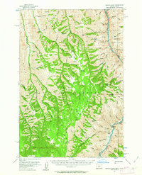
1954 Map of Kernan Point
USGS Topo · Published 1963About this map
The Snake River carves a deep canyon through the borderlands of Wallowa County and Idaho County in the mid-1950s. This survey by the Department of the Interior details the high plateaus and steep drainages of the Nezperce National Forest, where high points like Kernan Point and Grassy Knoll overlook a network of ridges including Windy Ridge and Sleepy Ridge. The settlement pattern is defined by isolated outposts and livestock operations such as Litch Ranch, Tryon Creek Ranch, and Dorrance Cow Camp, situated far from major towns.
Find a feature on this map
98 named features on this map. Tap any name to fly to it.
Don’t see what you’re looking for? This feature index may not catch every label — zoom into the map to look around manually.
Map Details
Editions of this 1954 Kernan Point Map
3 editions found
Other maps of this area

1922 · He Devil
USGS Topo · 1:48,000

1938 · Riggins
USGS Topo · 1:96,000

1945 · Riggins
USGS Topo · 1:125,000

1954 · Imnaha
USGS Topo · 1:62,500

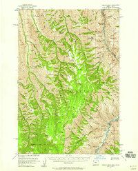
1954 · Kernan Point
USGS Topo · 1:62,500

1954 · Harl Butte
USGS Topo · 1:62,500

1955 · Grangeville
USGS Topo · 1:250,000

1957 · He Devil
USGS Topo · 1:62,500

1959 · Grangeville
USGS Topo · 1:250,000

1963 · Cactus Mtn
USGS Topo · 1:24,000