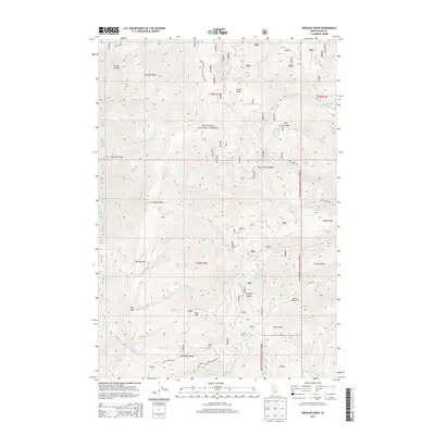
2013 Map of Kessler Creek
USGS Topo · Published 2013About this map
Nez Perce National Forest dominates this Idaho County landscape, revealing a complex network of high-elevation drainages and ridges. The terrain is defined by dramatic elevation changes, notably at the Narrows and the heights of Bald Mtn and Blue Mtn. Water sources are densely mapped, from larger bodies like Crater Lake and Papoose Lake to numerous named springs such as Indian Springs, Barton Spring, and the curiously named Tony Seafood Spring.
Find a feature on this map
50 named features on this map. Tap any name to fly to it.
Don’t see what you’re looking for? This feature index may not catch every label — zoom into the map to look around manually.
Map Details
Editions of this 2013 Kessler Creek Map
This is the sole edition of this map. No revisions or reprints were ever made.
Other maps of this area

1922 · He Devil
USGS Topo · 1:48,000

1938 · Riggins
USGS Topo · 1:96,000

1945 · Riggins
USGS Topo · 1:125,000

1954 · Kernan Point
USGS Topo · 1:62,500

1955 · Grangeville
USGS Topo · 1:250,000

1957 · He Devil
USGS Topo · 1:62,500

1959 · Grangeville
USGS Topo · 1:250,000

1963 · Lucile
USGS Topo · 1:24,000

1963 · Kirkwood Creek
USGS Topo · 1:24,000

1964 · Riggins
USGS Topo · 1:24,000