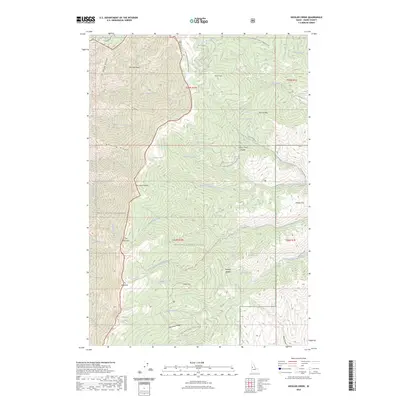
2023 Map of Kessler Creek
USGS Topo · Published 2023About this map
Hells Canyon Wilderness and the Nez Perce National Forest dominate this high-altitude interior, where extreme topographic relief defines the drainage patterns of the Snake River watershed. The landscape is structured by prominent divides such as Clarks Ridge and McClinery Ridge, which separate various forks of Clarks Fork and Race Creek. This contemporary survey details the complex network of access routes, including the Boise - North Tr and Old Timer Tr, which provide passage through difficult terrain like The Narrows. Geologic features and water sources are vital landmarks here, ranging from Bold Mtn and Blue Mtn to isolated hydrology like Crater Lake, Papoose Lake, and Tony Seyfried Spring. The naming conventions throughout the quadrangle, including Yeva-Agai-Naokwaide and McCalla Basin, reflect the area's deep ties to indigenous geography and early mountain navigation.
Find a feature on this map
50 named features on this map. Tap any name to fly to it.
Don’t see what you’re looking for? This feature index may not catch every label — zoom into the map to look around manually.
Map Details
Editions of this 2023 Kessler Creek Map
This is the sole edition of this map. No revisions or reprints were ever made.
Other maps of this area

1922 · He Devil
USGS Topo · 1:48,000

1938 · Riggins
USGS Topo · 1:96,000

1945 · Riggins
USGS Topo · 1:125,000

1954 · Kernan Point
USGS Topo · 1:62,500

1955 · Grangeville
USGS Topo · 1:250,000

1957 · He Devil
USGS Topo · 1:62,500

1959 · Grangeville
USGS Topo · 1:250,000

1963 · Lucile
USGS Topo · 1:24,000

1963 · Kirkwood Creek
USGS Topo · 1:24,000

1964 · Riggins
USGS Topo · 1:24,000