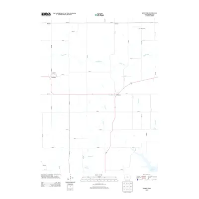
2013 Map of Keswick
USGS Topo · Published 2013About this map
Keswick and Webster anchor this Keokuk County landscape, where the rural grid meets the meandering path of the S English River. The area is characterized by a dense network of numbered secondary roads and avenues, such as Co HWY-g13 and 200th Ave, which define the agricultural blocks typical of Iowa's prairie topography. To the north, the small settlements of Aurora and White Pigeon sit near the White Pigeon Airport, while the southern portion of the map features significant water bodies including Lake Yenruogis and the northern reaches of Lake Belva Deer. The drainage patterns of Bridge Cr and German Cr further shape the terrain, illustrating the relationship between the region's managed farmland and its natural waterways.
Find a feature on this map
47 named features on this map. Tap any name to fly to it.
Don’t see what you’re looking for? This feature index may not catch every label — zoom into the map to look around manually.
Map Details
Editions of this 2013 Keswick Map
This is the sole edition of this map. No revisions or reprints were ever made.
Other maps of this area

1954 · Des Moines
USGS Topo · 1:250,000

1956 · Des Moines
USGS Topo · 1:250,000

1957 · Des Moines
USGS Topo · 1:250,000

1965 · What Cheer
USGS Topo · 1:24,000

1965 · Keswick
USGS Topo · 1:24,000

1965 · Harper
USGS Topo · 1:24,000

1965 · South English
USGS Topo · 1:24,000

1965 · Sigourney
USGS Topo · 1:24,000

1965 · Delta
USGS Topo · 1:24,000

1968 · Deep River
USGS Topo · 1:24,000