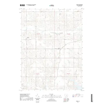
2018 Map of Keswick
USGS Topo · Published 2018About this map
Keswick and Webster anchor this Keokuk County landscape, where the S English River meanders through a grid of rural section lines. The map reveals a deeply rooted community structure defined by family and local history, as evidenced by numerous small burial grounds like Porter Cem, White Pigeon Cem, and Lutton Cem scattered across the township lines of t77n r12w and t77n r11w.
Find a feature on this map
44 named features on this map. Tap any name to fly to it.
Don’t see what you’re looking for? This feature index may not catch every label — zoom into the map to look around manually.
Map Details
Editions of this 2018 Keswick Map
This is the sole edition of this map. No revisions or reprints were ever made.
Other maps of this area

1954 · Des Moines
USGS Topo · 1:250,000

1956 · Des Moines
USGS Topo · 1:250,000

1957 · Des Moines
USGS Topo · 1:250,000
1965 · What Cheer
USGS Topo · 1:24,000
1965 · Keswick
USGS Topo · 1:24,000
1965 · Harper
USGS Topo · 1:24,000
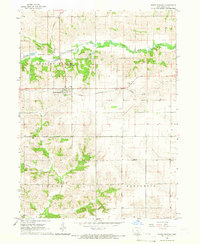
1965 · South English
USGS Topo · 1:24,000
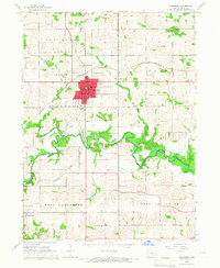
1965 · Sigourney
USGS Topo · 1:24,000
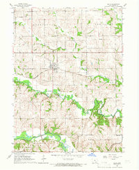
1965 · Delta
USGS Topo · 1:24,000
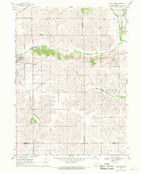
1968 · Deep River
USGS Topo · 1:24,000