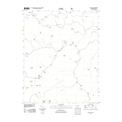
2010 Map of Ketchen
USGS Topo · Published 2010About this map
Ketchen and Creekmore sit within a landscape defined by steep ridges and winding watercourses along the Tennessee-Kentucky border. The area's industrial legacy is marked by the Gum Fork Mine in the west and Baird Mine in the southeast, indicating the region's reliance on coal extraction. A dense network of family-named cemeteries, such as the Adkins Cemetery, Blankenship Cemetery, and Lawson Cemetery, are scattered across the terrain, reflecting deep-rooted generational ties to the hollows. Numerous high points including Angel Mountain, Chitwood Mountain, and Stephens Knob overlook a maze of drainages like Capuchin Creek and Gum Fork. The distribution of these burial grounds and small settlements suggests a history of isolated mountain communities connected by narrow forest roads and the labor of the mines.
Find a feature on this map
95 named features on this map. Tap any name to fly to it.
Don’t see what you’re looking for? This feature index may not catch every label — zoom into the map to look around manually.
Map Details
Editions of this 2010 Ketchen Map
This is the sole edition of this map. No revisions or reprints were ever made.
Other maps of this area

1890 · Williamsburg
USGS Topo · 1:125,000

1893 · Briceville
USGS Topo · 1:125,000

1894 · Williamsburg
USGS Topo · 1:125,000

1895 · Briceville
USGS Topo · 1:125,000

1896 · Briceville
USGS Topo · 1:125,000

1936 · Ivydell
USGS Topo · 1:24,000

1936 · Pioneer
USGS Topo · 1:24,000

1936 · La Follette
USGS Topo · 1:48,000
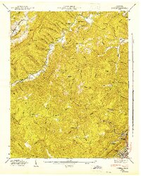
1946 · Ivydell
USGS Topo · 1:24,000
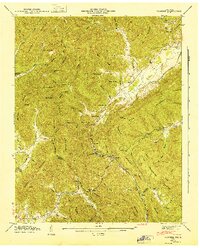
1946 · Pioneer
USGS Topo · 1:24,000