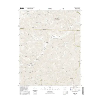
2016 Map of Ketchen
USGS Topo · Published 2016About this map
The Daniel Boone National Forest dominates the northern reaches of this landscape along the Kentucky and Tennessee border. This area is characterized by a dense network of hollows and ridges, such as Sugar Camp Hollow, Raven Hollow, and Dennis Ridge, which define the local topography. Numerous family cemeteries are scattered throughout the hills, including Hayes Creek Cem, Adkins Cem, and Baird Creek Cem, providing significant touchstones for genealogical research in the region. The small settlement of Ketchen serves as a central point in a terrain marked by steep elevations like Angel Mtn and Chitwood Mtn. These peaks overlook a complex drainage system formed by Jellico Cr and its many tributaries, reflecting the traditional Appalachian patterns of upland settlement and remote burial grounds.
Find a feature on this map
87 named features on this map. Tap any name to fly to it.
Don’t see what you’re looking for? This feature index may not catch every label — zoom into the map to look around manually.
Map Details
Editions of this 2016 Ketchen Map
This is the sole edition of this map. No revisions or reprints were ever made.
Other maps of this area

1890 · Williamsburg
USGS Topo · 1:125,000

1893 · Briceville
USGS Topo · 1:125,000

1894 · Williamsburg
USGS Topo · 1:125,000

1895 · Briceville
USGS Topo · 1:125,000

1896 · Briceville
USGS Topo · 1:125,000

1936 · Ivydell
USGS Topo · 1:24,000

1936 · Pioneer
USGS Topo · 1:24,000

1936 · La Follette
USGS Topo · 1:48,000
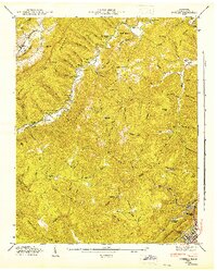
1946 · Ivydell
USGS Topo · 1:24,000
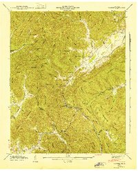
1946 · Pioneer
USGS Topo · 1:24,000