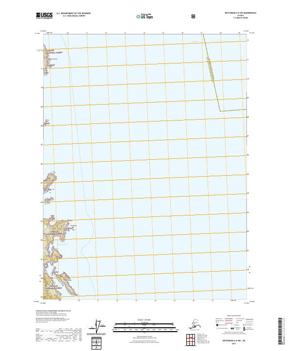
2021 Map of Ketchikan A-6 SW
USGS Topo · Published 2021About this map
Tongass National Forest encompasses the coastal landscape of the Ketchikan Gateway Borough and Prince of Wales-Hyder Census Area, where the waters of the Clarence Strait meet the rugged shoreline of southeast Alaska. The maritime character of the region is defined by prominent coastal markers such as Adams Point and Rip Point, which frame the entrance to sheltered inlets like Chichagof Bay. Small island groups and hazards, including Whiterock Island, Polk Island, and Sun Rocks, are scattered throughout the strait, indicating the complexities of navigating these northern waterways. This 2021 survey illustrates a land largely managed as a wilderness preserve, with little terrestrial development beyond these established maritime features and the administrative boundaries of the national forest.
Find a feature on this map
14 named features on this map. Tap any name to fly to it.
Don’t see what you’re looking for? This feature index may not catch every label — zoom into the map to look around manually.
Map Details
Editions of this 2021 Ketchikan A-6 SW Map
This is the sole edition of this map. No revisions or reprints were ever made.
Other maps of this area

1948 · Prince Rupert D-6
USGS Topo · 1:63,360

1948 · Ketchikan A-6
USGS Topo · 1:63,360

1948 · Craig A-1
USGS Topo · 1:63,360

1948 · Dixon Entrance D-1
USGS Topo · 1:63,360

1951 · Prince Rupert
USGS Topo · 1:250,000

1951 · Dixon Entrance
USGS Topo · 1:250,000

1951 · Prince Rupert D-6
USGS Topo · 1:63,360

1952 · Ketchikan
USGS Topo · 1:250,000

1955 · Ketchikan
USGS Topo · 1:250,000

1957 · Craig
USGS Topo · 1:250,000