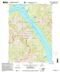
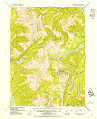
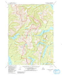
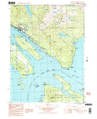
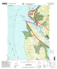
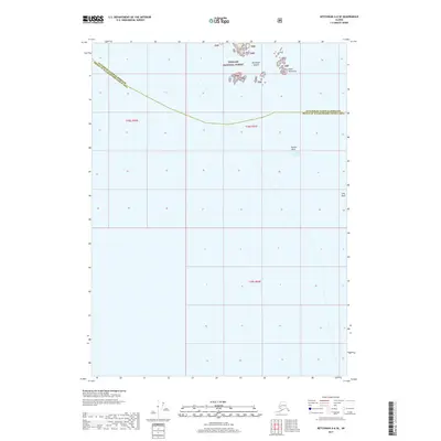
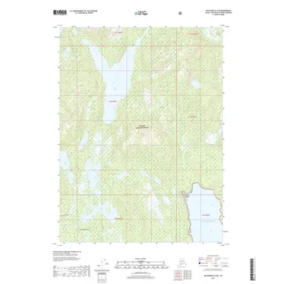
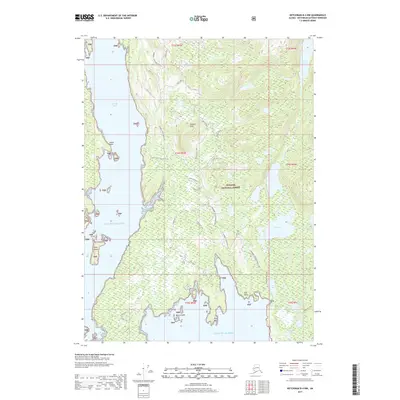
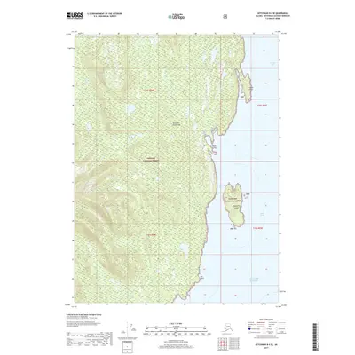
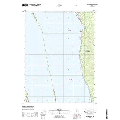
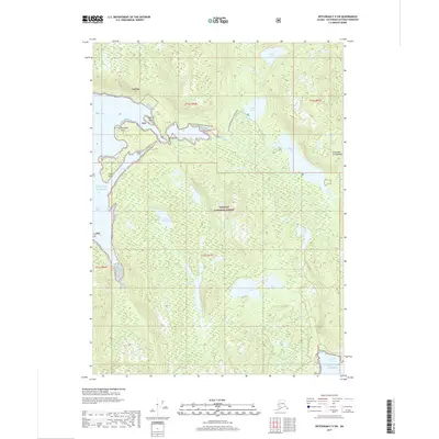
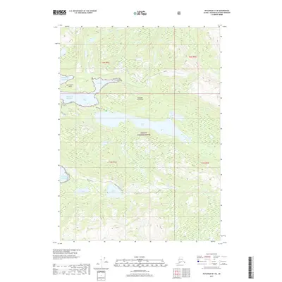
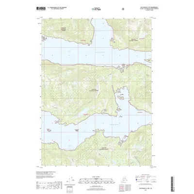
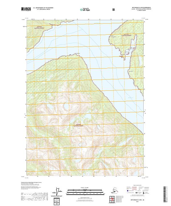
1996 Map of Ketchikan D-4
USGS Topo · Published 2000About this map
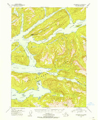
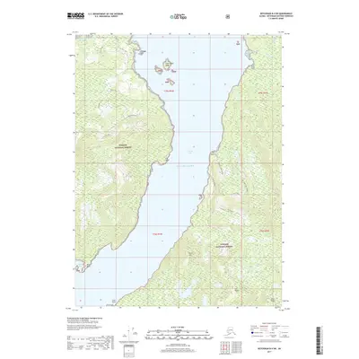
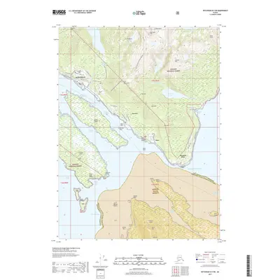
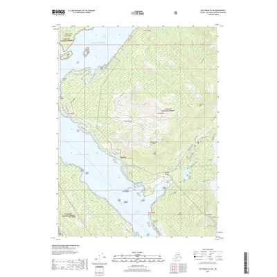
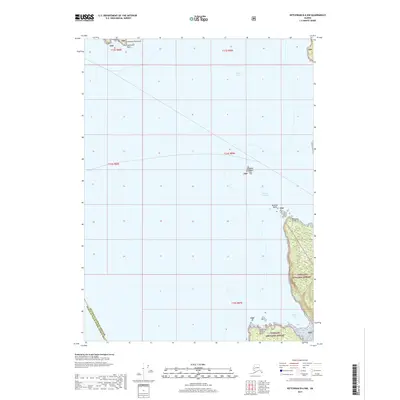
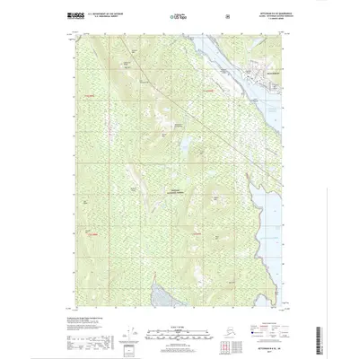
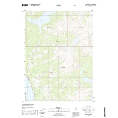
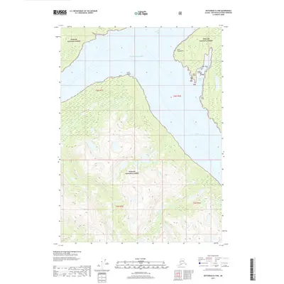
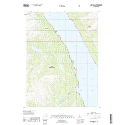
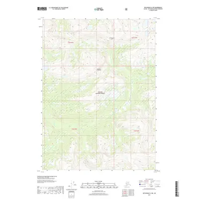
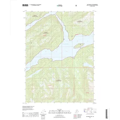
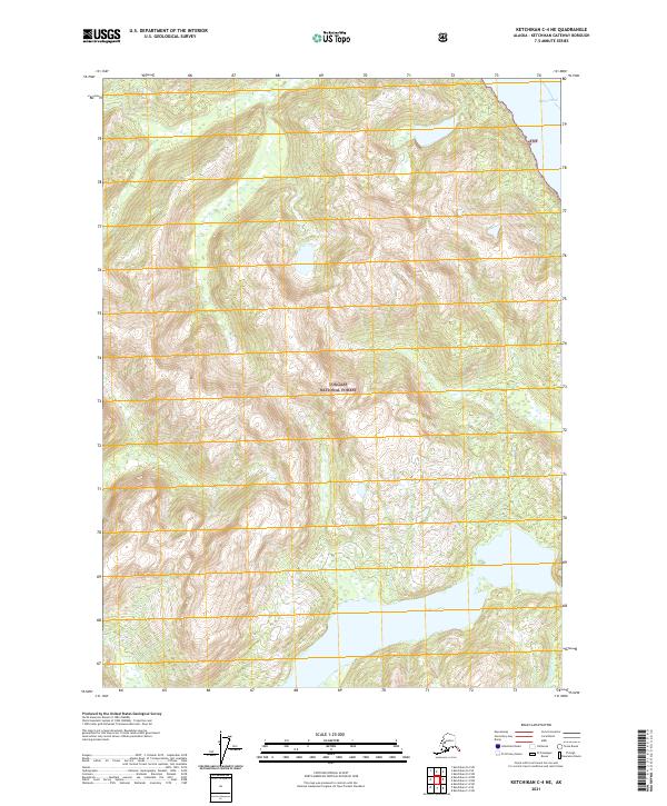
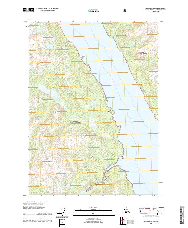
Revillagigedo Island and the coastal expanse of the Misty Fiords National Monument Wilderness dominate this southeast Alaskan landscape. This 1996 revision by the USDA Forest Service documents a region of intricate waterways and coastal points, including the meeting of Burroughs Bay and the deep Behm Canal. The map reveals the dramatic geography of the Tongass National Forest, where steep drainage systems like Saks Creek and Robinson Creek flow into the tidal waters. Coastal navigation is anchored by distinctive landmarks such as Point Whaley, Point Fitzgibbon, and the Center Islets. The lack of road infrastructure underscores the maritime and wilderness character of the Ketchikan Gateway Borough, where travel is defined by the shoreline and the boundaries of the Misty Fiords Ranger District.
Find a feature on this map
23 named features on this map. Tap any name to fly to it.
Don’t see what you’re looking for? This feature index may not catch every label — zoom into the map to look around manually.
Map Details
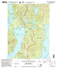
Editions of this 1996 Ketchikan D-4 Map
This is the sole edition of this map. No revisions or reprints were ever made.
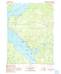
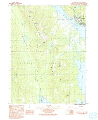
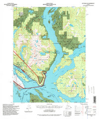
Historical Maps of Ketchikan Gateway Through Time
85 maps found
1948 Ketchikan C-5
Ketchikan Gateway Borough, AK
1949 Ketchikan B-4
Ketchikan Gateway Borough, AK
1952 Ketchikan B-4
Ketchikan Gateway Borough, AK
1952 Ketchikan C-4
Ketchikan Gateway Borough, AK
1952 Ketchikan D-5
Ketchikan Gateway Borough, AK
1953 Ketchikan B-6
Ketchikan Gateway Borough, AK
1953 Ketchikan C-5
Ketchikan Gateway Borough, AK
1953 Ketchikan D-5
Ketchikan Gateway Borough, AK
1954 Ketchikan B-5
Ketchikan Gateway Borough, AK
1954 Ketchikan B-6
Ketchikan Gateway Borough, AK
1955 Ketchikan B-5
Ketchikan Gateway Borough, AK
1955 Ketchikan C-4
Ketchikan Gateway Borough, AK
1955 Ketchikan D-4
Ketchikan Gateway Borough, AK
1962 Ketchikan D-4
Ketchikan Gateway Borough, AK
1991 Ketchikan B-5 NW
Ketchikan Gateway Borough, AK
1991 Ketchikan B-5 SW
Ketchikan Gateway Borough, AK
1991 Ketchikan B-6 NE
Ketchikan Gateway Borough, AK
1991 Ketchikan B-6 SE
Ketchikan Gateway Borough, AK
1994 Ketchikan B-5
Ketchikan Gateway Borough, AK
1994 Ketchikan B-6
Ketchikan Gateway Borough, AK
1995 Ketchikan B-4
Ketchikan Gateway Borough, AK
1995 Ketchikan C-4
Ketchikan Gateway Borough, AK
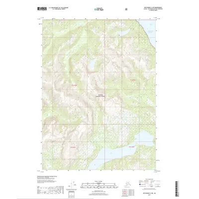
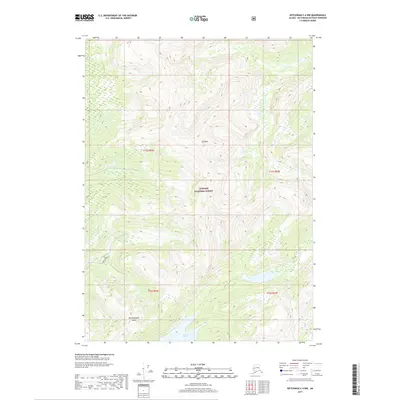
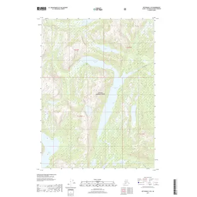
1996 Ketchikan D-4
Ketchikan Gateway Borough, AK
2017 Ketchikan A-6 NE
Ketchikan Gateway Borough, AK
2017 Ketchikan A-6 SE
Ketchikan Gateway Borough, AK
2017 Ketchikan B-4 NE
Ketchikan Gateway Borough, AK
2017 Ketchikan B-4 NW
Ketchikan Gateway Borough, AK
2017 Ketchikan B-4 SE
Ketchikan Gateway Borough, AK
2017 Ketchikan B-4 SW
Ketchikan Gateway Borough, AK
2017 Ketchikan B-5 NE
Ketchikan Gateway Borough, AK
2017 Ketchikan B-5 NW
Ketchikan Gateway Borough, AK
2017 Ketchikan B-5 SE
Ketchikan Gateway Borough, AK
2017 Ketchikan B-5 SW
Ketchikan Gateway Borough, AK
2017 Ketchikan B-6 NE
Ketchikan Gateway Borough, AK
2017 Ketchikan B-6 NW
Ketchikan Gateway Borough, AK
2017 Ketchikan B-6 SE
Ketchikan Gateway Borough, AK
2017 Ketchikan B-6 SW
Ketchikan Gateway Borough, AK
2017 Ketchikan C-4 NE
Ketchikan Gateway Borough, AK
2017 Ketchikan C-4 NW
Ketchikan Gateway Borough, AK
2017 Ketchikan C-4 SE
Ketchikan Gateway Borough, AK
2017 Ketchikan C-4 SW
Ketchikan Gateway Borough, AK
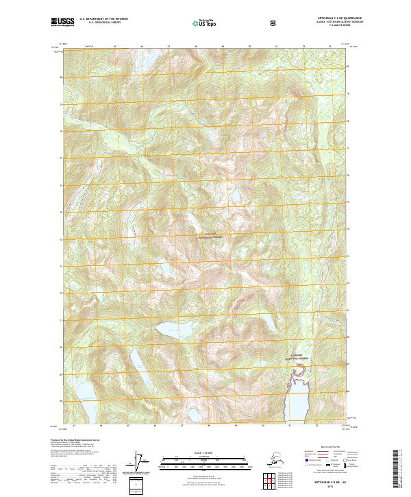
2017 Ketchikan C-5 NE
Ketchikan Gateway Borough, AK
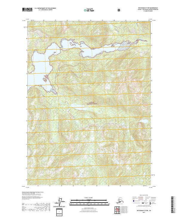
2017 Ketchikan C-5 NW
Ketchikan Gateway Borough, AK
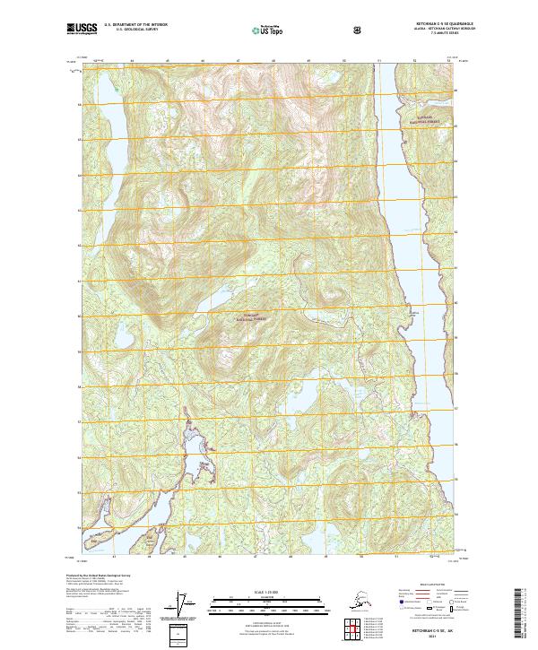
2017 Ketchikan C-5 SE
Ketchikan Gateway Borough, AK
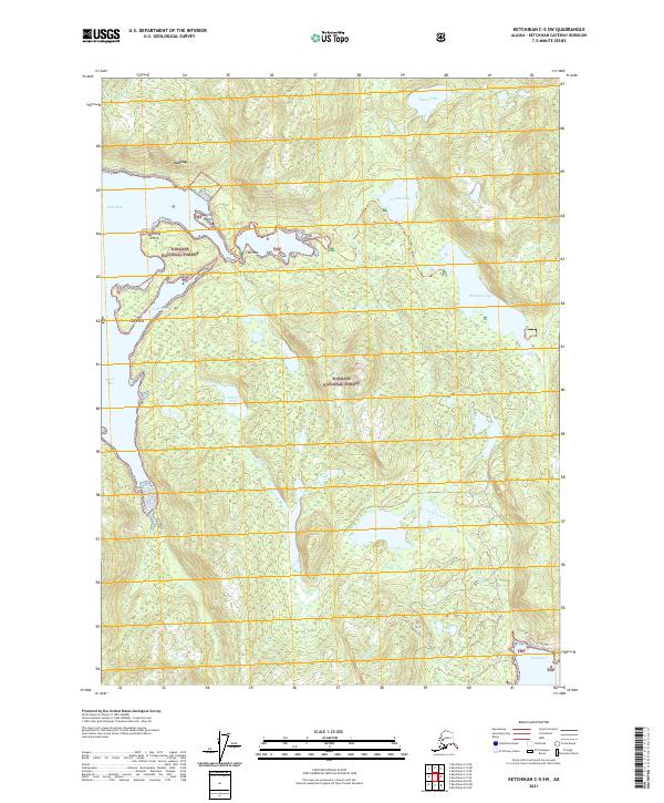
2017 Ketchikan C-5 SW
Ketchikan Gateway Borough, AK
2017 Ketchikan C-6 NE
Ketchikan Gateway Borough, AK
2017 Ketchikan C-6 SE
Ketchikan Gateway Borough, AK
2017 Ketchikan C-6 SW
Ketchikan Gateway Borough, AK
2017 Ketchikan D-4 NW
Ketchikan Gateway Borough, AK
2017 Ketchikan D-4 SE
Ketchikan Gateway Borough, AK
2017 Ketchikan D-4 SW
Ketchikan Gateway Borough, AK
2017 Ketchikan D-5 NE
Ketchikan Gateway Borough, AK
2017 Ketchikan D-5 SE
Ketchikan Gateway Borough, AK
2017 Ketchikan D-5 SW
Ketchikan Gateway Borough, AK
2021 Ketchikan A-6 NE
Ketchikan Gateway Borough, AK
2021 Ketchikan A-6 SE
Ketchikan Gateway Borough, AK
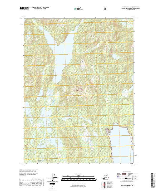
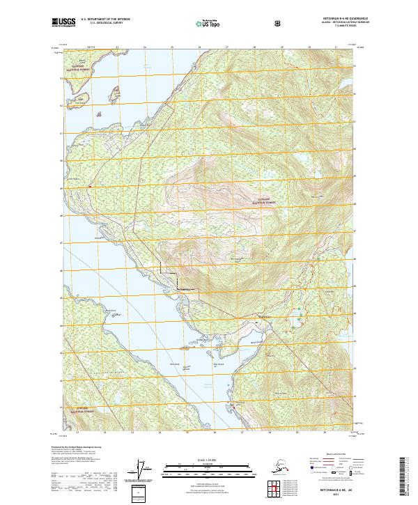
2021 Ketchikan B-4 NE
Ketchikan Gateway Borough, AK
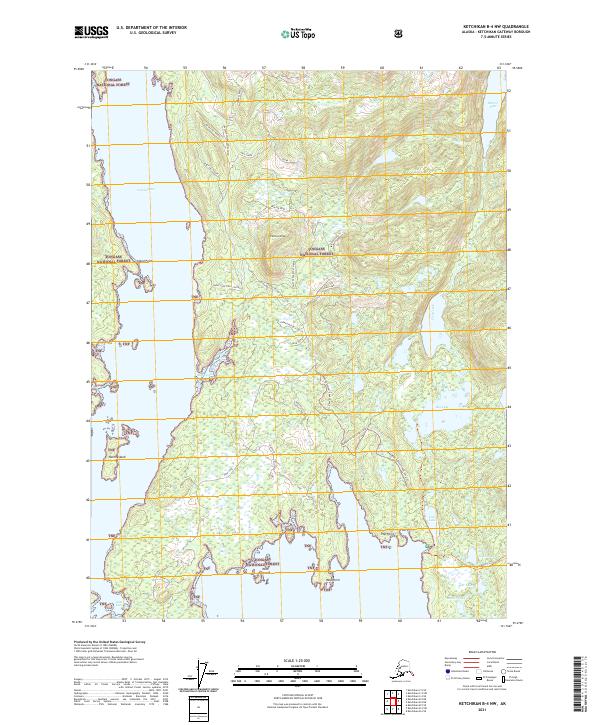
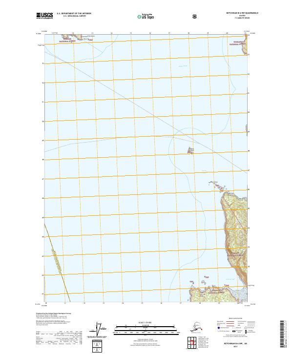
2021 Ketchikan B-4 NW
Ketchikan Gateway Borough, AK
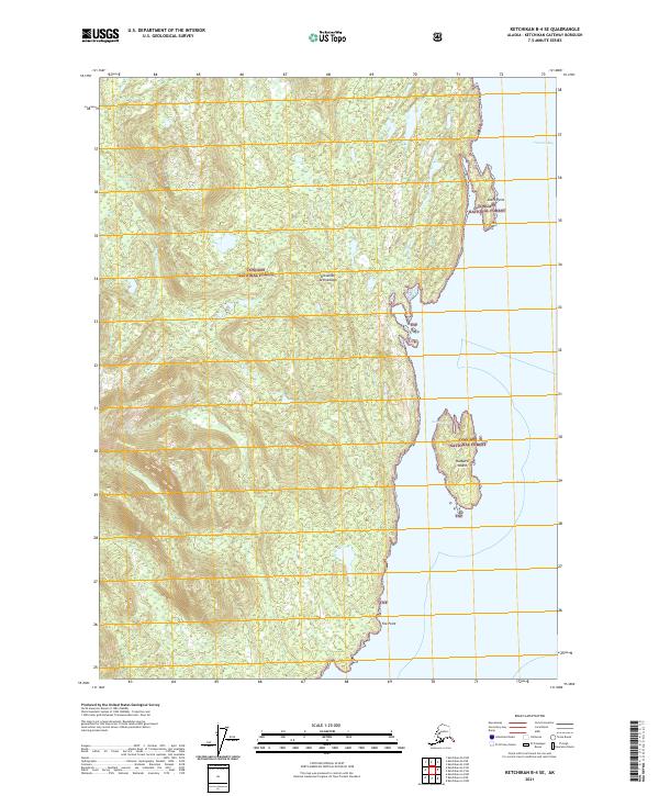
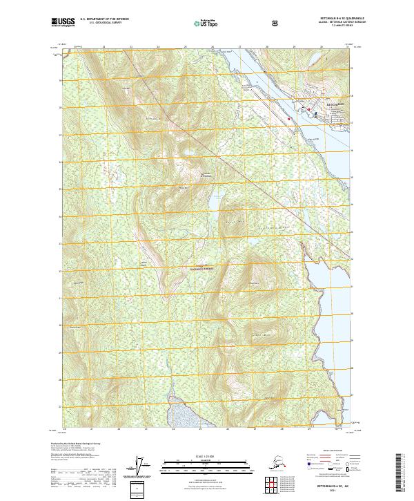
2021 Ketchikan B-4 SE
Ketchikan Gateway Borough, AK
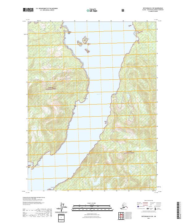
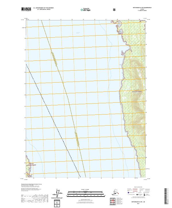
2021 Ketchikan B-4 SW
Ketchikan Gateway Borough, AK
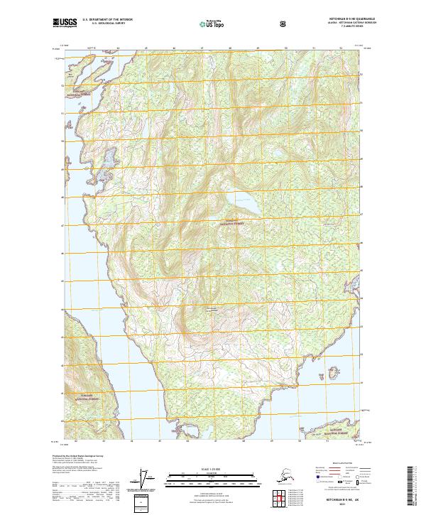
2021 Ketchikan B-5 NE
Ketchikan Gateway Borough, AK
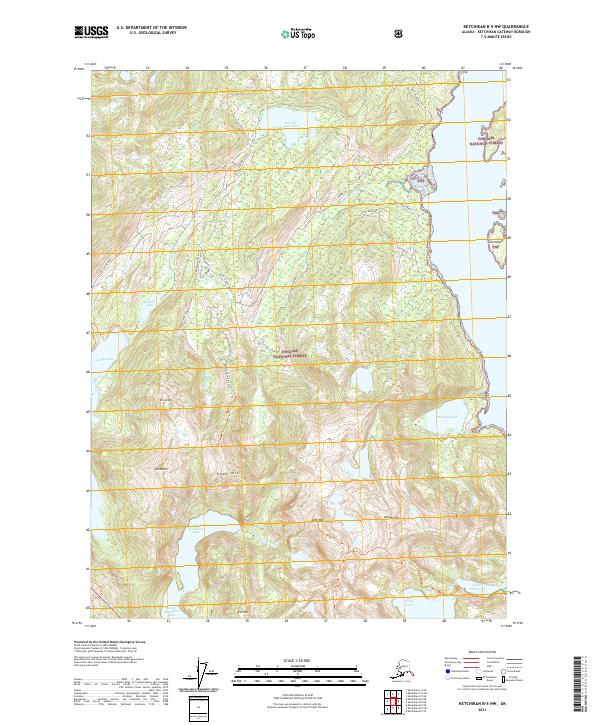
2021 Ketchikan B-5 NW
Ketchikan Gateway Borough, AK
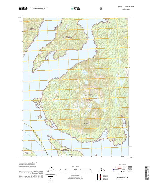
2021 Ketchikan B-5 SE
Ketchikan Gateway Borough, AK
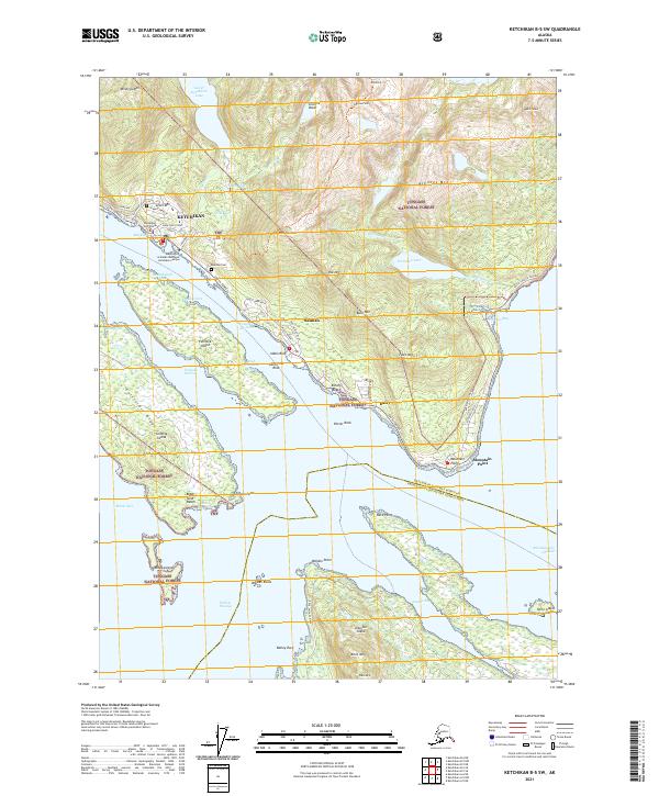
2021 Ketchikan B-5 SW
Ketchikan Gateway Borough, AK
2021 Ketchikan B-6 NE
Ketchikan Gateway Borough, AK
2021 Ketchikan B-6 NW
Ketchikan Gateway Borough, AK
2021 Ketchikan B-6 SE
Ketchikan Gateway Borough, AK
2021 Ketchikan B-6 SW
Ketchikan Gateway Borough, AK
2021 Ketchikan C-4 NE
Ketchikan Gateway Borough, AK
2021 Ketchikan C-4 NW
Ketchikan Gateway Borough, AK
2021 Ketchikan C-4 SE
Ketchikan Gateway Borough, AK
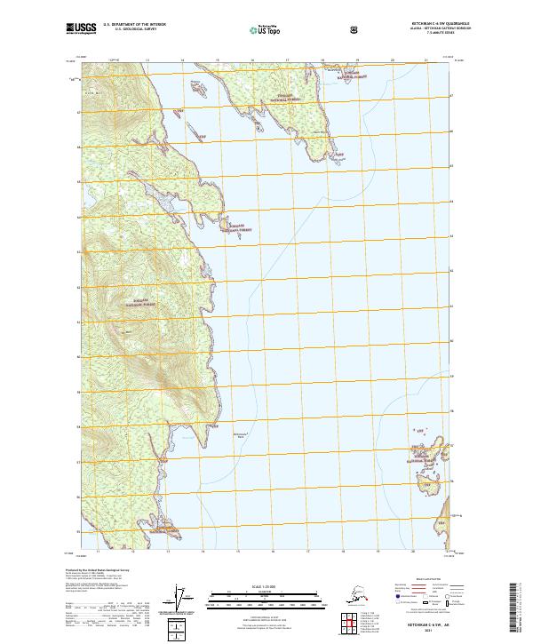
2021 Ketchikan C-4 SW
Ketchikan Gateway Borough, AK
2021 Ketchikan C-5 NE
Ketchikan Gateway Borough, AK
2021 Ketchikan C-5 NW
Ketchikan Gateway Borough, AK
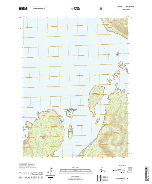
2021 Ketchikan C-5 SE
Ketchikan Gateway Borough, AK
2021 Ketchikan C-5 SW
Ketchikan Gateway Borough, AK
2021 Ketchikan C-6 NE
Ketchikan Gateway Borough, AK
2021 Ketchikan C-6 SE
Ketchikan Gateway Borough, AK
2021 Ketchikan C-6 SW
Ketchikan Gateway Borough, AK
2021 Ketchikan D-4 NW
Ketchikan Gateway Borough, AK
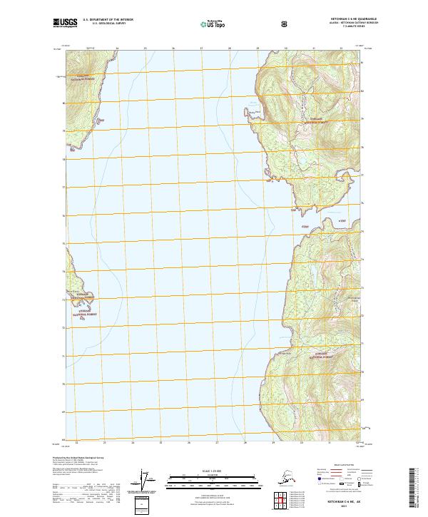
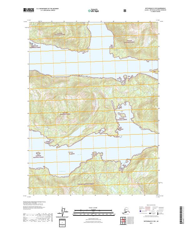
2021 Ketchikan D-4 SE
Ketchikan Gateway Borough, AK
2021 Ketchikan D-4 SW
Ketchikan Gateway Borough, AK
2021 Ketchikan D-5 NE
Ketchikan Gateway Borough, AK
2021 Ketchikan D-5 SE
Ketchikan Gateway Borough, AK
2021 Ketchikan D-5 SW
Ketchikan Gateway Borough, AK