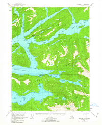
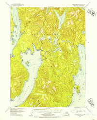
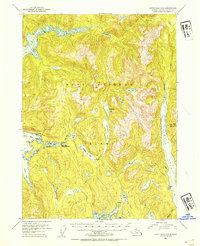
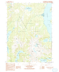
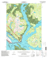
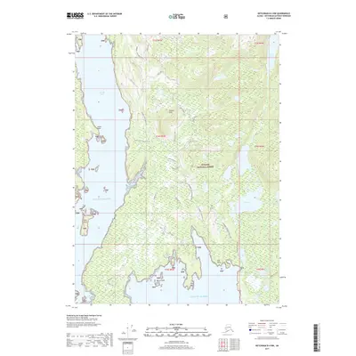
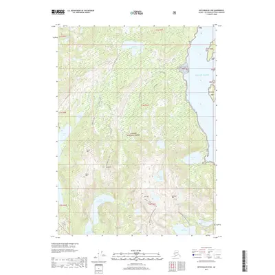
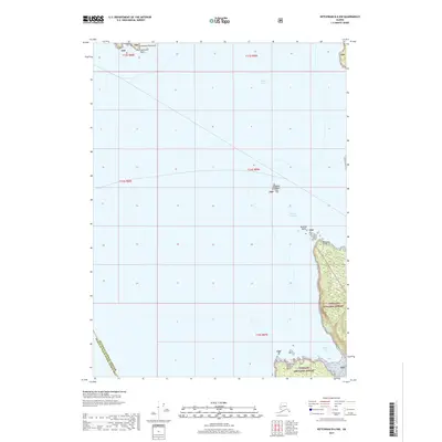
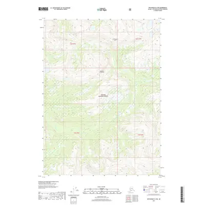
1952 Map of Ketchikan D-5
USGS Topo · Published 1963About this map
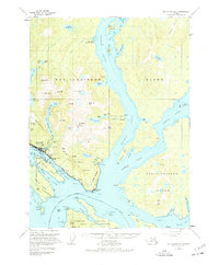
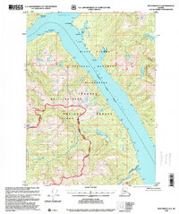
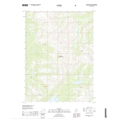
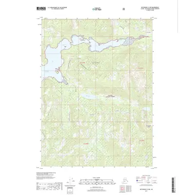
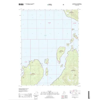
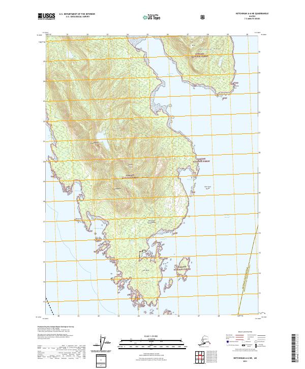
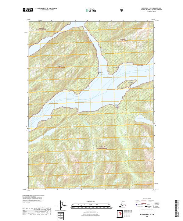
Bell Island Hot Springs serves as a rare focal point of human infrastructure in this remote coastal landscape of the Tongass National Forest. The presence of a Seaplane Ramp and a waterfront Cabin at this site highlights the critical role of aviation and water transport for accessing the specialized geothermal resources and timber of the Alexander Archipelago. This 1952 field-annotated survey reveals a complex network of glacial waterways, including the deep Behm Canal and the sheltered channels of Hassler Pass and Gedney Pass.
Find a feature on this map
92 named features on this map. Tap any name to fly to it.
Don’t see what you’re looking for? This feature index may not catch every label — zoom into the map to look around manually.
Map Details
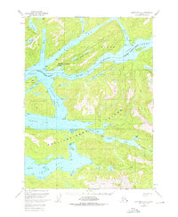
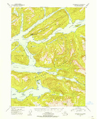
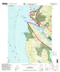
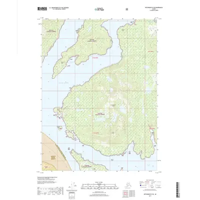
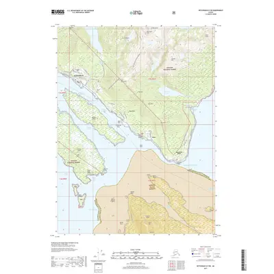
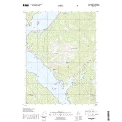
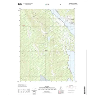
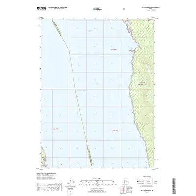
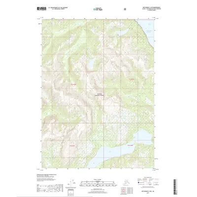
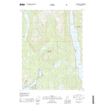
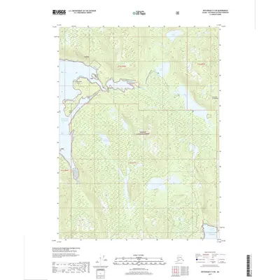
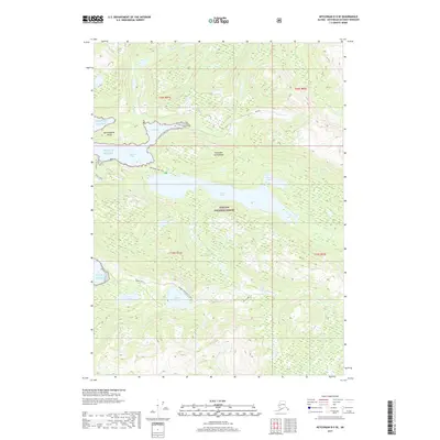
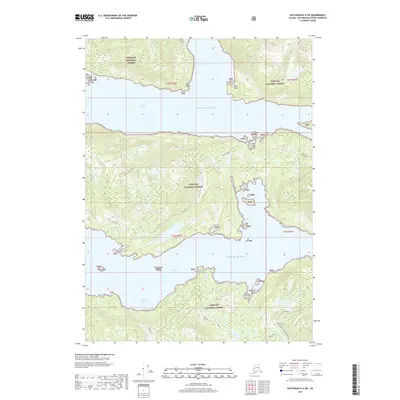
Editions of this 1952 Ketchikan D-5 Map
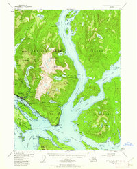
Historical Maps of Bell Island Hot Springs Through Time
85 maps found
1948 Ketchikan C-5
Ketchikan Gateway Borough, AK
1949 Ketchikan B-4
Ketchikan Gateway Borough, AK
1952 Ketchikan B-4
Ketchikan Gateway Borough, AK
1952 Ketchikan C-4
Ketchikan Gateway Borough, AK
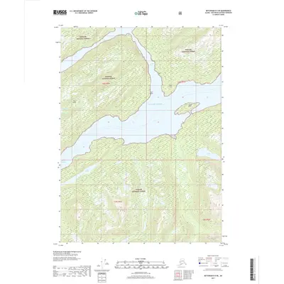
1952 Ketchikan D-5
Ketchikan Gateway Borough, AK
1953 Ketchikan B-6
Ketchikan Gateway Borough, AK
1953 Ketchikan C-5
Ketchikan Gateway Borough, AK
1953 Ketchikan D-5
Ketchikan Gateway Borough, AK
1954 Ketchikan B-5
Ketchikan Gateway Borough, AK
1954 Ketchikan B-6
Ketchikan Gateway Borough, AK
1955 Ketchikan B-5
Ketchikan Gateway Borough, AK
1955 Ketchikan C-4
Ketchikan Gateway Borough, AK
1955 Ketchikan D-4
Ketchikan Gateway Borough, AK
1962 Ketchikan D-4
Ketchikan Gateway Borough, AK
1991 Ketchikan B-5 NW
Ketchikan Gateway Borough, AK
1991 Ketchikan B-5 SW
Ketchikan Gateway Borough, AK
1991 Ketchikan B-6 NE
Ketchikan Gateway Borough, AK
1991 Ketchikan B-6 SE
Ketchikan Gateway Borough, AK
1994 Ketchikan B-5
Ketchikan Gateway Borough, AK
1994 Ketchikan B-6
Ketchikan Gateway Borough, AK
1995 Ketchikan B-4
Ketchikan Gateway Borough, AK
1995 Ketchikan C-4
Ketchikan Gateway Borough, AK
1996 Ketchikan D-4
Ketchikan Gateway Borough, AK
2017 Ketchikan A-6 NE
Ketchikan Gateway Borough, AK
2017 Ketchikan A-6 SE
Ketchikan Gateway Borough, AK
2017 Ketchikan B-4 NE
Ketchikan Gateway Borough, AK
2017 Ketchikan B-4 NW
Ketchikan Gateway Borough, AK
2017 Ketchikan B-4 SE
Ketchikan Gateway Borough, AK
2017 Ketchikan B-4 SW
Ketchikan Gateway Borough, AK
2017 Ketchikan B-5 NE
Ketchikan Gateway Borough, AK
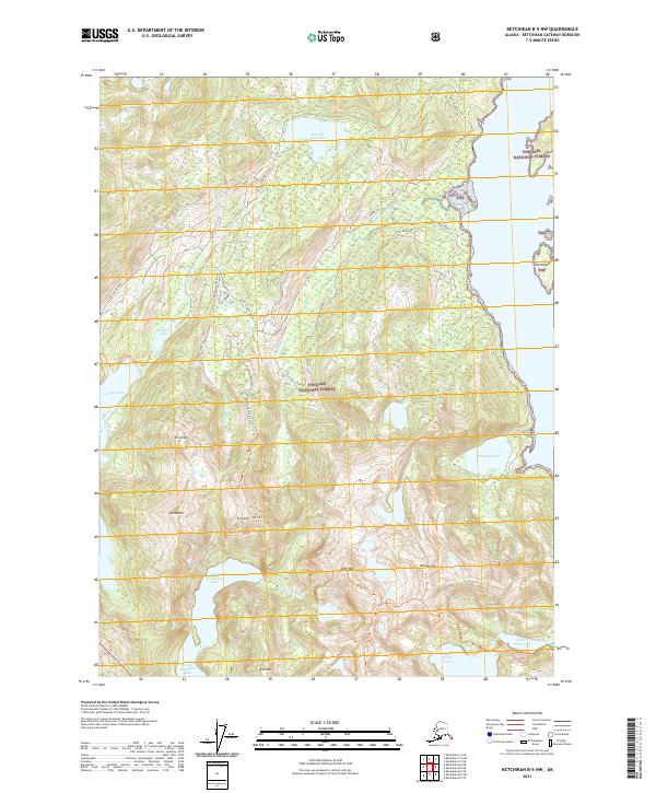
2017 Ketchikan B-5 NW
Ketchikan Gateway Borough, AK
2017 Ketchikan B-5 SE
Ketchikan Gateway Borough, AK
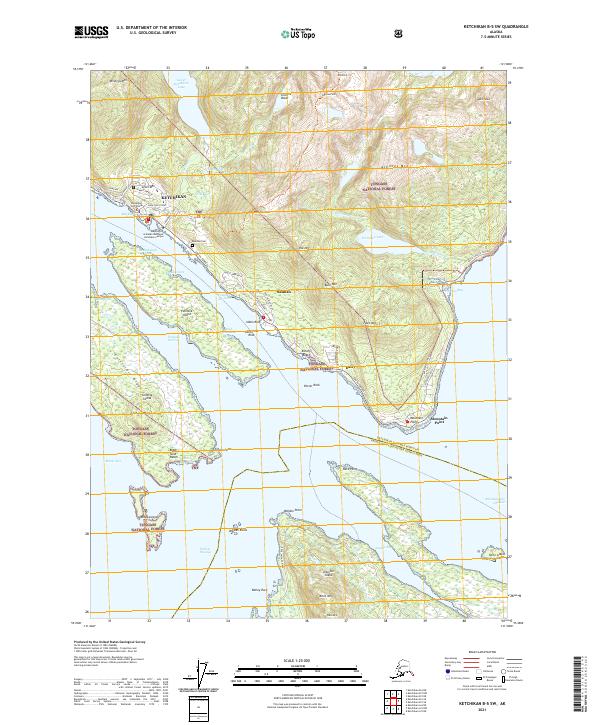
2017 Ketchikan B-5 SW
Ketchikan Gateway Borough, AK
2017 Ketchikan B-6 NE
Ketchikan Gateway Borough, AK
2017 Ketchikan B-6 NW
Ketchikan Gateway Borough, AK
2017 Ketchikan B-6 SE
Ketchikan Gateway Borough, AK
2017 Ketchikan B-6 SW
Ketchikan Gateway Borough, AK
2017 Ketchikan C-4 NE
Ketchikan Gateway Borough, AK
2017 Ketchikan C-4 NW
Ketchikan Gateway Borough, AK
2017 Ketchikan C-4 SE
Ketchikan Gateway Borough, AK
2017 Ketchikan C-4 SW
Ketchikan Gateway Borough, AK
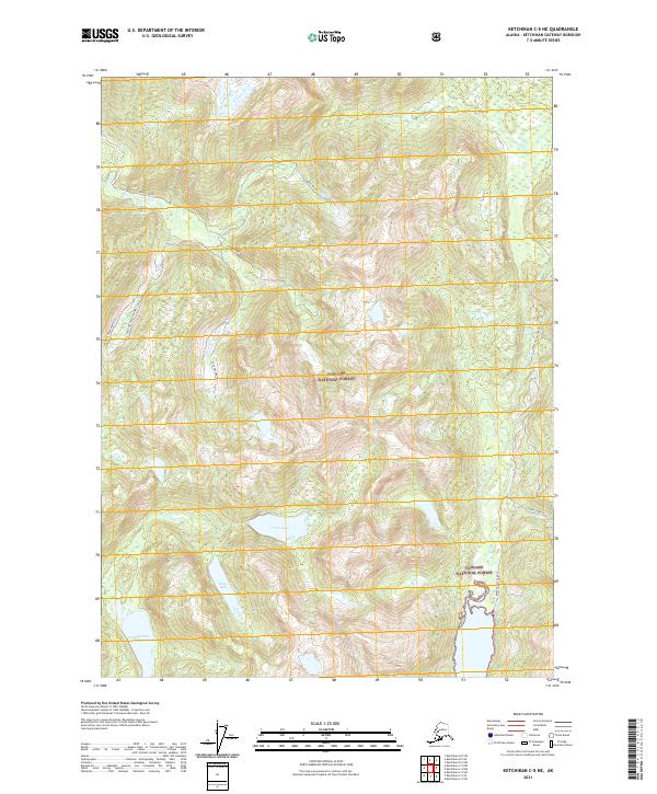
2017 Ketchikan C-5 NE
Ketchikan Gateway Borough, AK
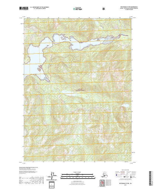
2017 Ketchikan C-5 NW
Ketchikan Gateway Borough, AK
2017 Ketchikan C-5 SE
Ketchikan Gateway Borough, AK
2017 Ketchikan C-5 SW
Ketchikan Gateway Borough, AK
2017 Ketchikan C-6 NE
Ketchikan Gateway Borough, AK
2017 Ketchikan C-6 SE
Ketchikan Gateway Borough, AK
2017 Ketchikan C-6 SW
Ketchikan Gateway Borough, AK
2017 Ketchikan D-4 NW
Ketchikan Gateway Borough, AK
2017 Ketchikan D-4 SE
Ketchikan Gateway Borough, AK
2017 Ketchikan D-4 SW
Ketchikan Gateway Borough, AK
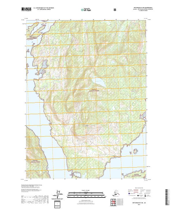
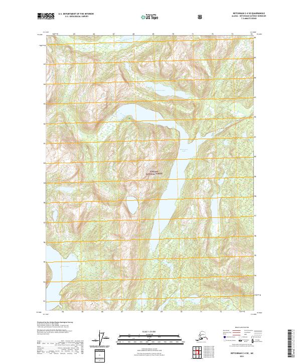
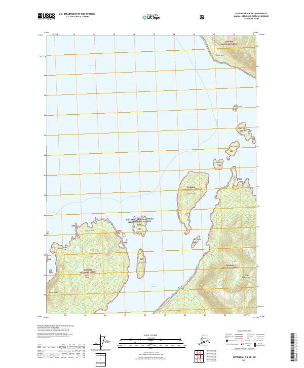
2017 Ketchikan D-5 NE
Ketchikan Gateway Borough, AK
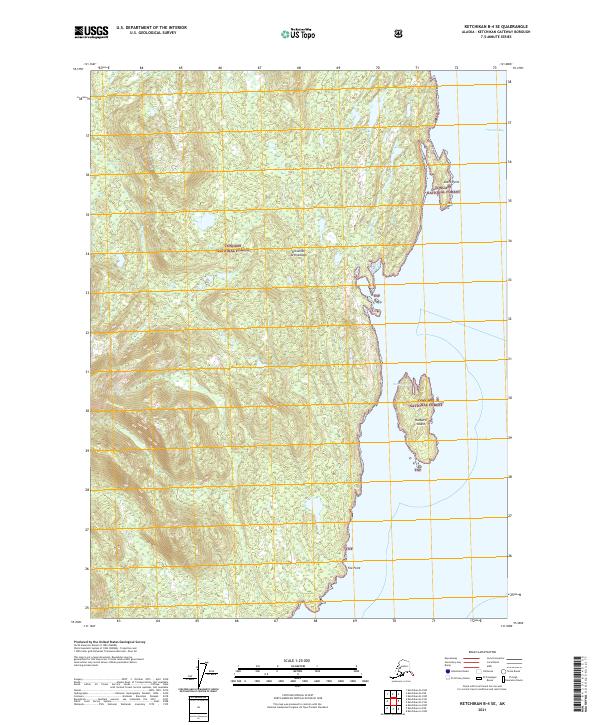
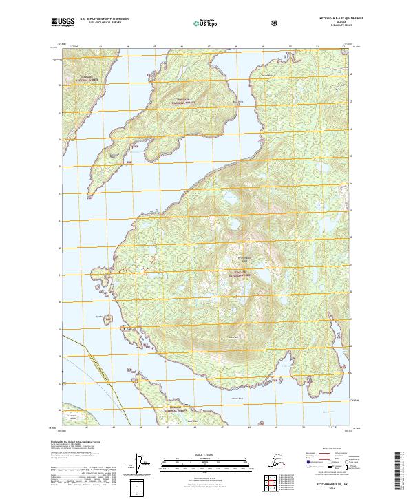
2017 Ketchikan D-5 SE
Ketchikan Gateway Borough, AK
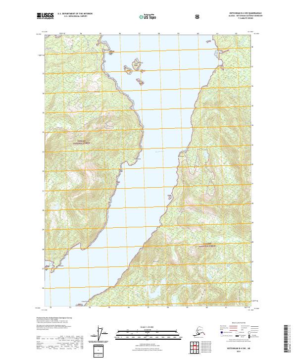
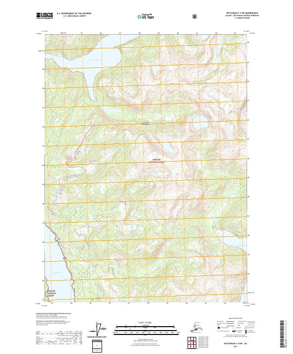
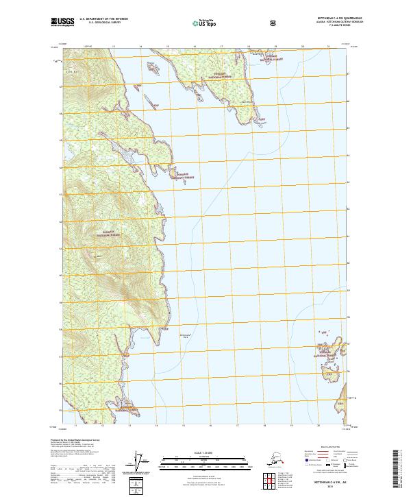
2017 Ketchikan D-5 SW
Ketchikan Gateway Borough, AK
2021 Ketchikan A-6 NE
Ketchikan Gateway Borough, AK
2021 Ketchikan A-6 SE
Ketchikan Gateway Borough, AK
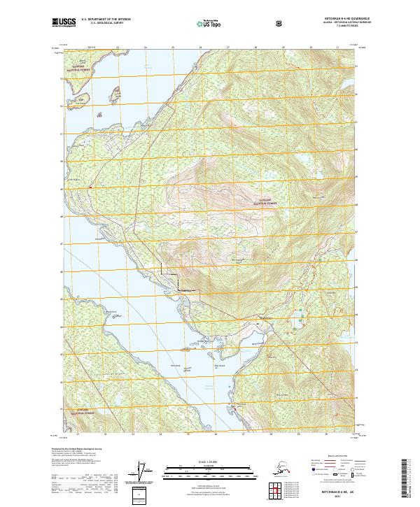
2021 Ketchikan B-4 NE
Ketchikan Gateway Borough, AK
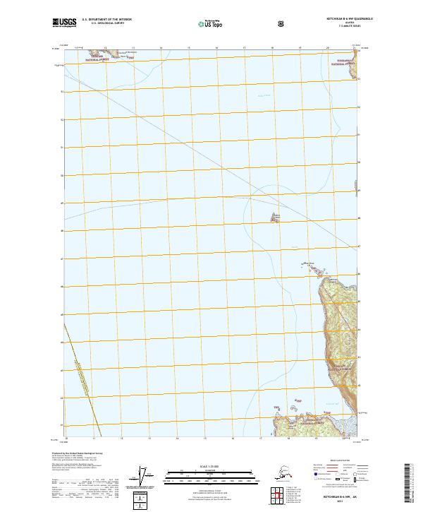
2021 Ketchikan B-4 NW
Ketchikan Gateway Borough, AK
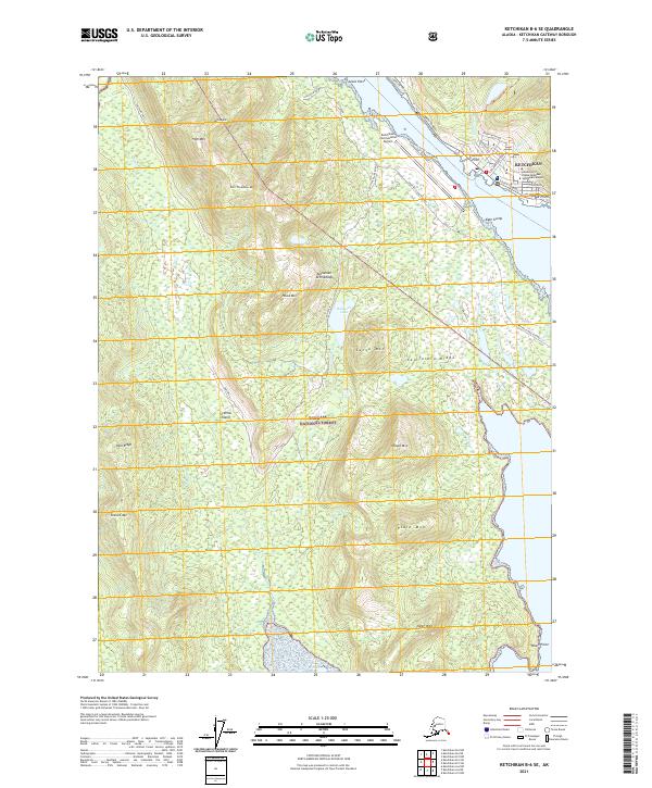
2021 Ketchikan B-4 SE
Ketchikan Gateway Borough, AK
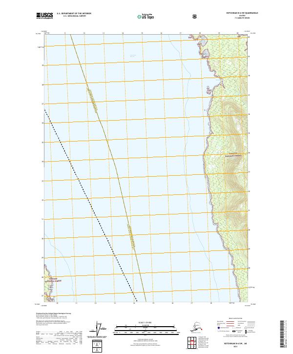
2021 Ketchikan B-4 SW
Ketchikan Gateway Borough, AK
2021 Ketchikan B-5 NE
Ketchikan Gateway Borough, AK
2021 Ketchikan B-5 NW
Ketchikan Gateway Borough, AK
2021 Ketchikan B-5 SE
Ketchikan Gateway Borough, AK
2021 Ketchikan B-5 SW
Ketchikan Gateway Borough, AK
2021 Ketchikan B-6 NE
Ketchikan Gateway Borough, AK
2021 Ketchikan B-6 NW
Ketchikan Gateway Borough, AK
2021 Ketchikan B-6 SE
Ketchikan Gateway Borough, AK
2021 Ketchikan B-6 SW
Ketchikan Gateway Borough, AK
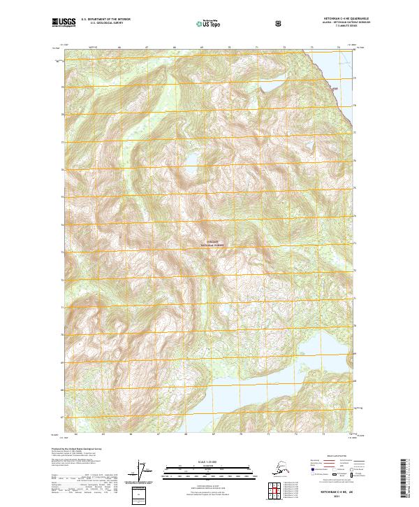
2021 Ketchikan C-4 NE
Ketchikan Gateway Borough, AK
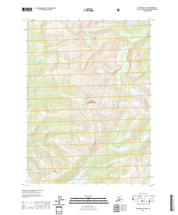
2021 Ketchikan C-4 NW
Ketchikan Gateway Borough, AK
2021 Ketchikan C-4 SE
Ketchikan Gateway Borough, AK
2021 Ketchikan C-4 SW
Ketchikan Gateway Borough, AK
2021 Ketchikan C-5 NE
Ketchikan Gateway Borough, AK
2021 Ketchikan C-5 NW
Ketchikan Gateway Borough, AK
2021 Ketchikan C-5 SE
Ketchikan Gateway Borough, AK
2021 Ketchikan C-5 SW
Ketchikan Gateway Borough, AK
2021 Ketchikan C-6 NE
Ketchikan Gateway Borough, AK
2021 Ketchikan C-6 SE
Ketchikan Gateway Borough, AK
2021 Ketchikan C-6 SW
Ketchikan Gateway Borough, AK
2021 Ketchikan D-4 NW
Ketchikan Gateway Borough, AK
2021 Ketchikan D-4 SE
Ketchikan Gateway Borough, AK
2021 Ketchikan D-4 SW
Ketchikan Gateway Borough, AK
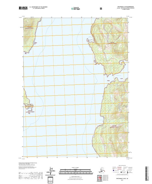
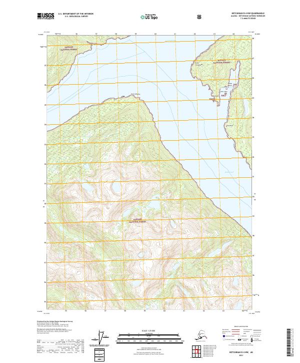
2021 Ketchikan D-5 NE
Ketchikan Gateway Borough, AK
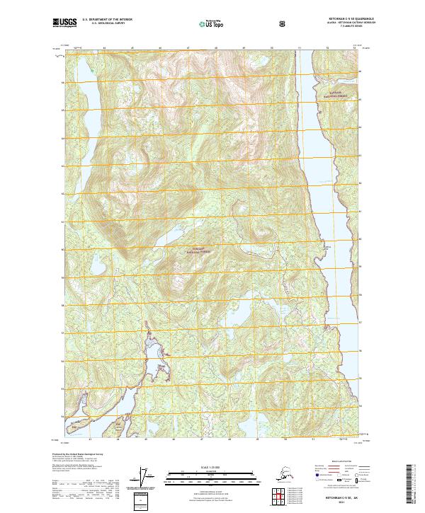
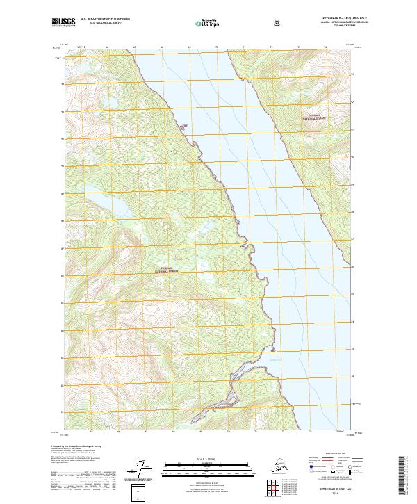
2021 Ketchikan D-5 SE
Ketchikan Gateway Borough, AK
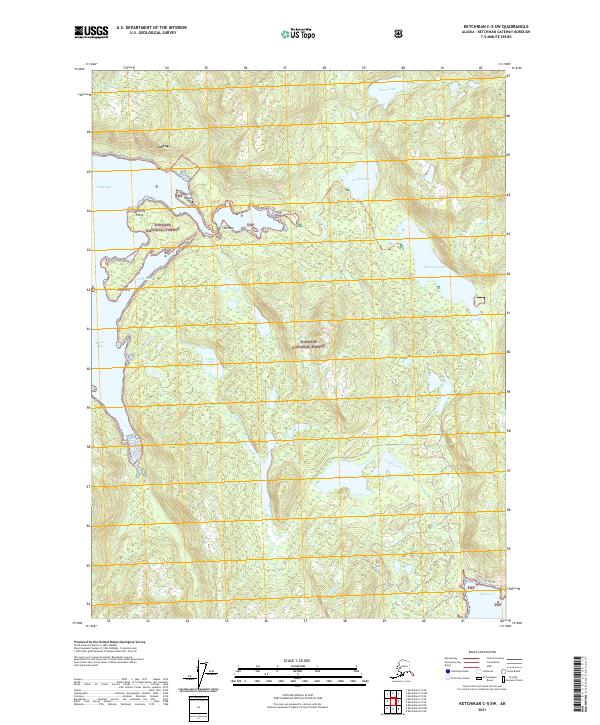
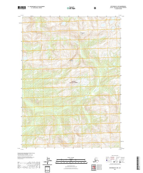
2021 Ketchikan D-5 SW
Ketchikan Gateway Borough, AK