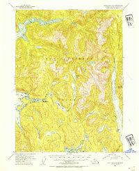
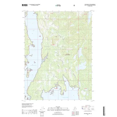
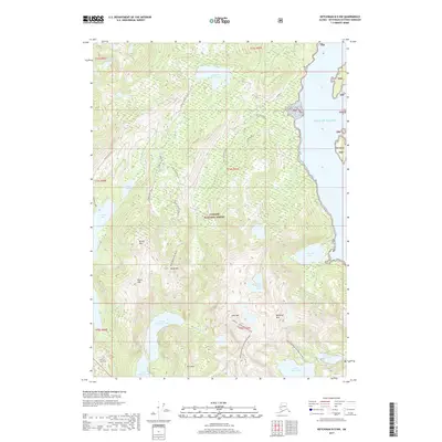
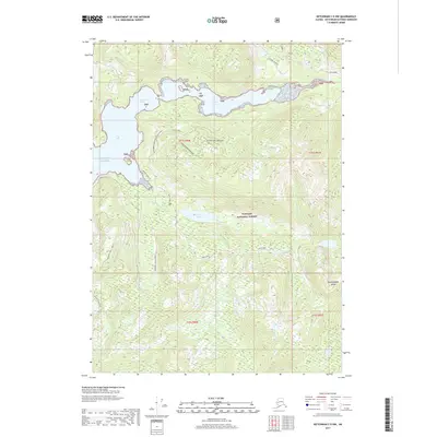
1952 Map of Ketchikan D-5
USGS Topo · Published 1988About this map
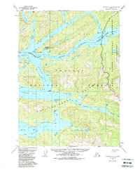
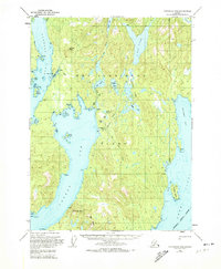
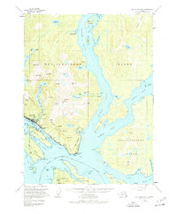
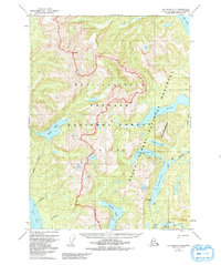
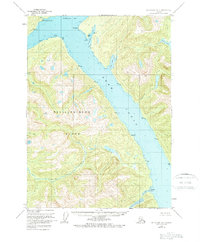
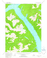
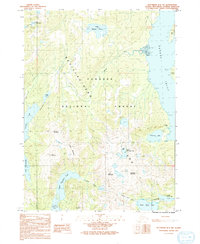
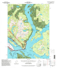
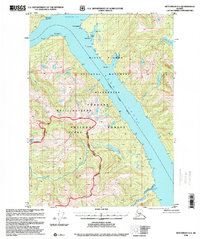
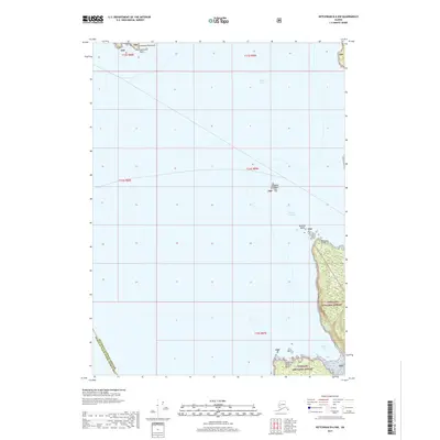
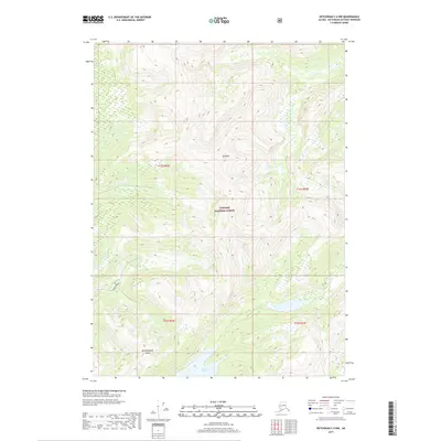
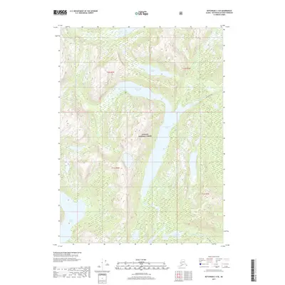
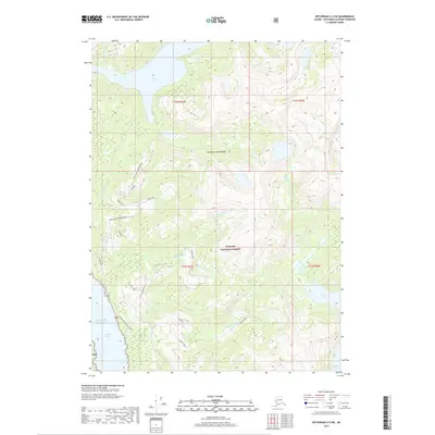
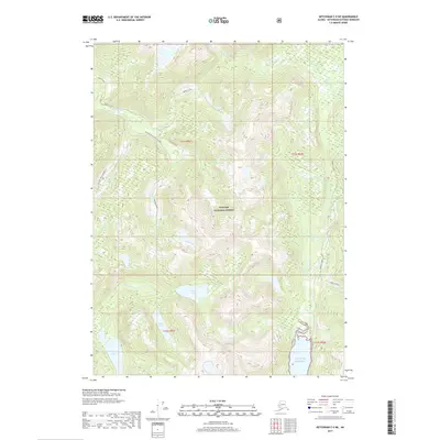
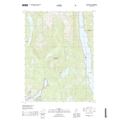
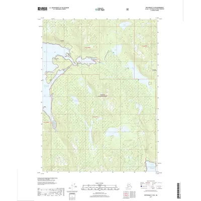
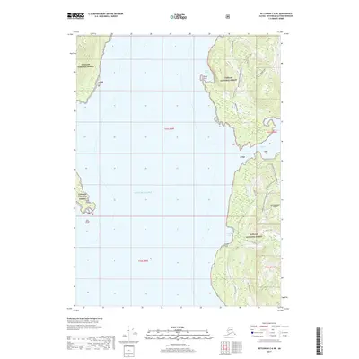
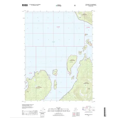
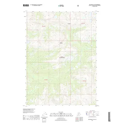
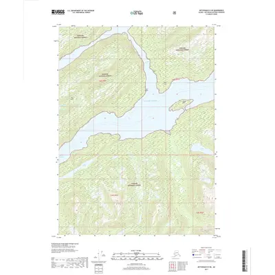
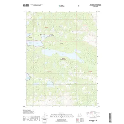
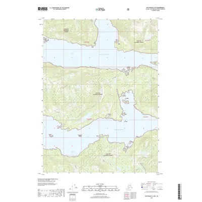
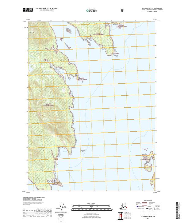
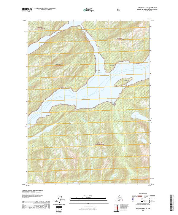
Bell Island Hot Springs serves as a rare focal point of human activity within this maritime landscape, complete with a Seaplane Ramp located along the northern shore of Behm Canal. This 1952 record (revised 1988) details a complex network of waterways and islands including Hassler Island and the northern reaches of Revillagigedo Island. The intricate shoreline is defined by deep inlets like Neets Bay and narrow passages such as Gedney Pass and Anchor Pass. Much of the interior terrain is protected under the Tongass National Forest and the Misty Fjords National Monument (Wilderness), characterized by high-altitude freshwater bodies like Lake Shelokum and Orchard Lake. The map illustrates the specialized transport and subsistence patterns of the Alaska Panhandle, where travel relied almost exclusively on the water and air.
Find a feature on this map
43 named features on this map. Tap any name to fly to it.
Don’t see what you’re looking for? This feature index may not catch every label — zoom into the map to look around manually.
Map Details
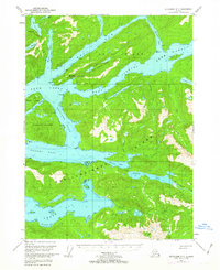
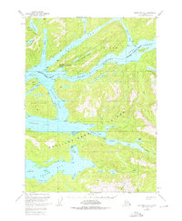
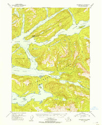
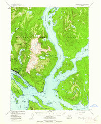
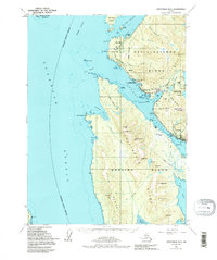
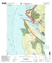
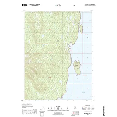
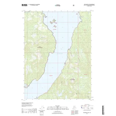
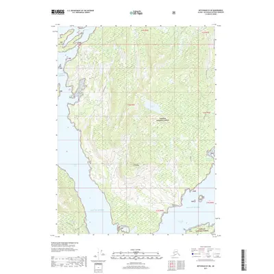
Editions of this 1952 Ketchikan D-5 Map
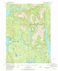
Historical Maps of Bell Island Hot Springs Through Time
85 maps found
1948 Ketchikan C-5
Ketchikan Gateway Borough, AK
1949 Ketchikan B-4
Ketchikan Gateway Borough, AK
1952 Ketchikan B-4
Ketchikan Gateway Borough, AK
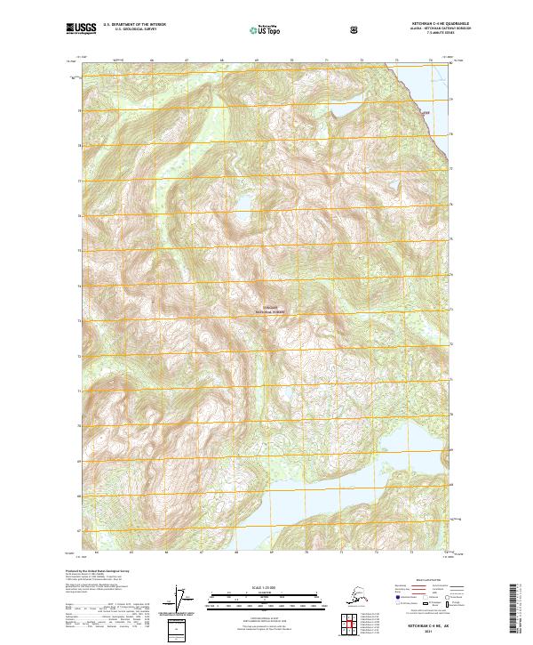
1952 Ketchikan C-4
Ketchikan Gateway Borough, AK
1952 Ketchikan D-5
Ketchikan Gateway Borough, AK
1953 Ketchikan B-6
Ketchikan Gateway Borough, AK
1953 Ketchikan C-5
Ketchikan Gateway Borough, AK
1953 Ketchikan D-5
Ketchikan Gateway Borough, AK
1954 Ketchikan B-5
Ketchikan Gateway Borough, AK
1954 Ketchikan B-6
Ketchikan Gateway Borough, AK
1955 Ketchikan B-5
Ketchikan Gateway Borough, AK
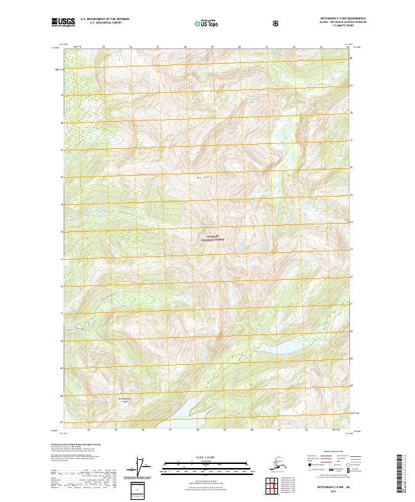
1955 Ketchikan C-4
Ketchikan Gateway Borough, AK
1955 Ketchikan D-4
Ketchikan Gateway Borough, AK
1962 Ketchikan D-4
Ketchikan Gateway Borough, AK
1991 Ketchikan B-5 NW
Ketchikan Gateway Borough, AK
1991 Ketchikan B-5 SW
Ketchikan Gateway Borough, AK
1991 Ketchikan B-6 NE
Ketchikan Gateway Borough, AK
1991 Ketchikan B-6 SE
Ketchikan Gateway Borough, AK
1994 Ketchikan B-5
Ketchikan Gateway Borough, AK
1994 Ketchikan B-6
Ketchikan Gateway Borough, AK
1995 Ketchikan B-4
Ketchikan Gateway Borough, AK
1995 Ketchikan C-4
Ketchikan Gateway Borough, AK
1996 Ketchikan D-4
Ketchikan Gateway Borough, AK
2017 Ketchikan A-6 NE
Ketchikan Gateway Borough, AK
2017 Ketchikan A-6 SE
Ketchikan Gateway Borough, AK
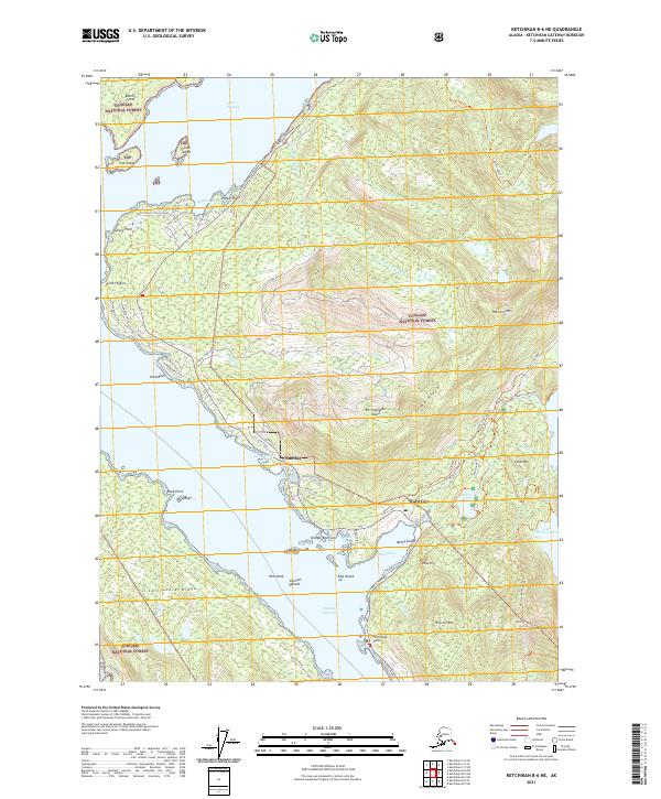
2017 Ketchikan B-4 NE
Ketchikan Gateway Borough, AK
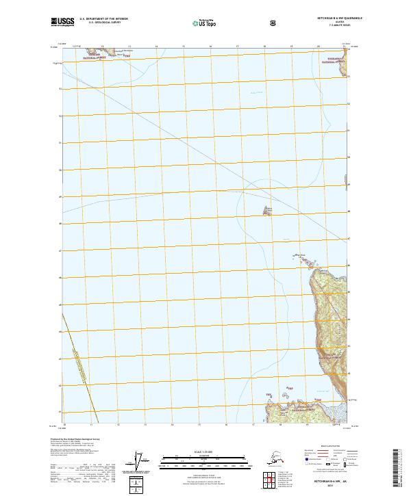
2017 Ketchikan B-4 NW
Ketchikan Gateway Borough, AK
2017 Ketchikan B-4 SE
Ketchikan Gateway Borough, AK
2017 Ketchikan B-4 SW
Ketchikan Gateway Borough, AK
2017 Ketchikan B-5 NE
Ketchikan Gateway Borough, AK
2017 Ketchikan B-5 NW
Ketchikan Gateway Borough, AK
2017 Ketchikan B-5 SE
Ketchikan Gateway Borough, AK
2017 Ketchikan B-5 SW
Ketchikan Gateway Borough, AK
2017 Ketchikan B-6 NE
Ketchikan Gateway Borough, AK
2017 Ketchikan B-6 NW
Ketchikan Gateway Borough, AK
2017 Ketchikan B-6 SE
Ketchikan Gateway Borough, AK
2017 Ketchikan B-6 SW
Ketchikan Gateway Borough, AK
2017 Ketchikan C-4 NE
Ketchikan Gateway Borough, AK
2017 Ketchikan C-4 NW
Ketchikan Gateway Borough, AK
2017 Ketchikan C-4 SE
Ketchikan Gateway Borough, AK
2017 Ketchikan C-4 SW
Ketchikan Gateway Borough, AK
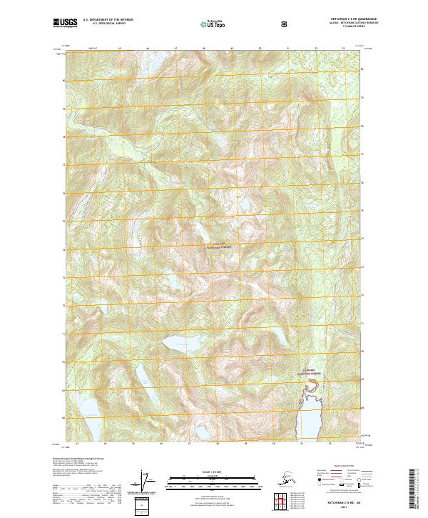
2017 Ketchikan C-5 NE
Ketchikan Gateway Borough, AK
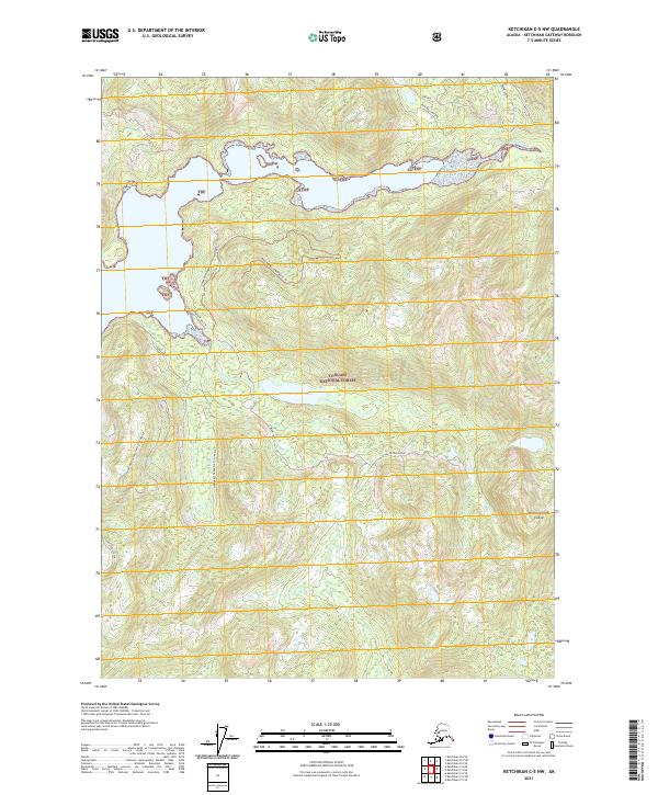
2017 Ketchikan C-5 NW
Ketchikan Gateway Borough, AK
2017 Ketchikan C-5 SE
Ketchikan Gateway Borough, AK
2017 Ketchikan C-5 SW
Ketchikan Gateway Borough, AK
2017 Ketchikan C-6 NE
Ketchikan Gateway Borough, AK
2017 Ketchikan C-6 SE
Ketchikan Gateway Borough, AK
2017 Ketchikan C-6 SW
Ketchikan Gateway Borough, AK
2017 Ketchikan D-4 NW
Ketchikan Gateway Borough, AK
2017 Ketchikan D-4 SE
Ketchikan Gateway Borough, AK
2017 Ketchikan D-4 SW
Ketchikan Gateway Borough, AK
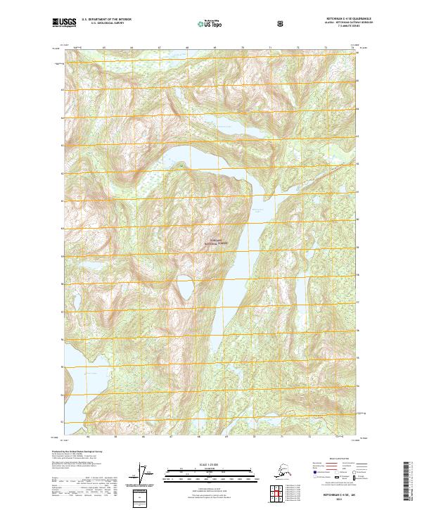
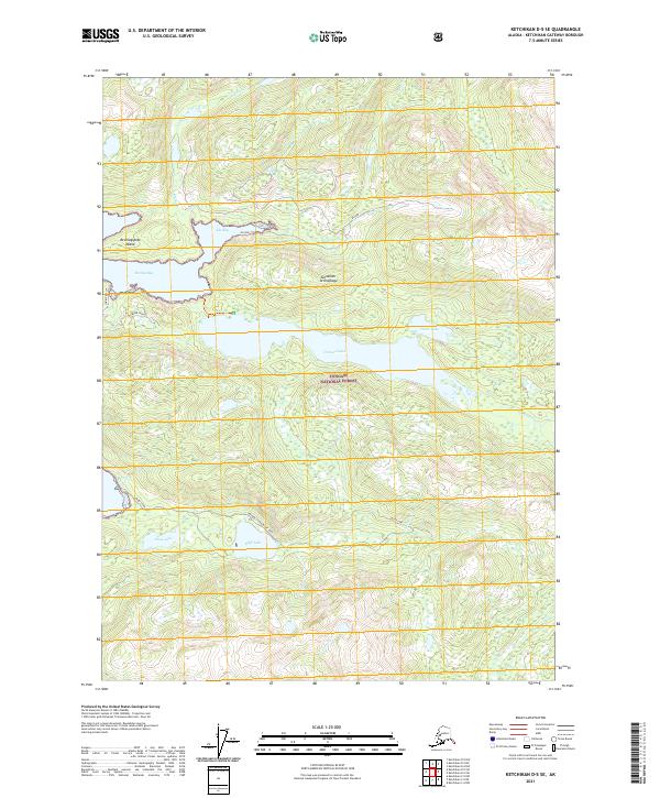
2017 Ketchikan D-5 NE
Ketchikan Gateway Borough, AK
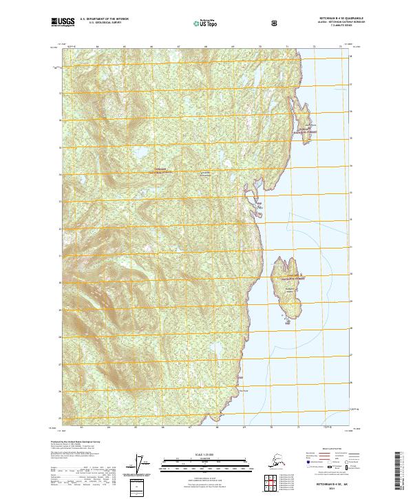
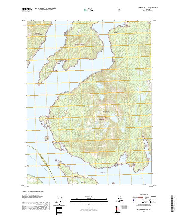
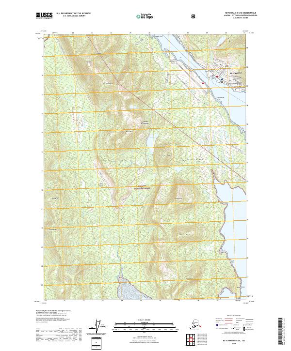
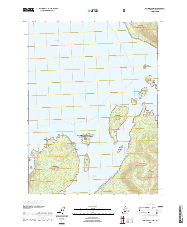
2017 Ketchikan D-5 SE
Ketchikan Gateway Borough, AK
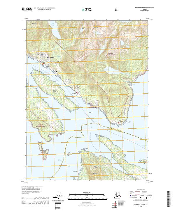
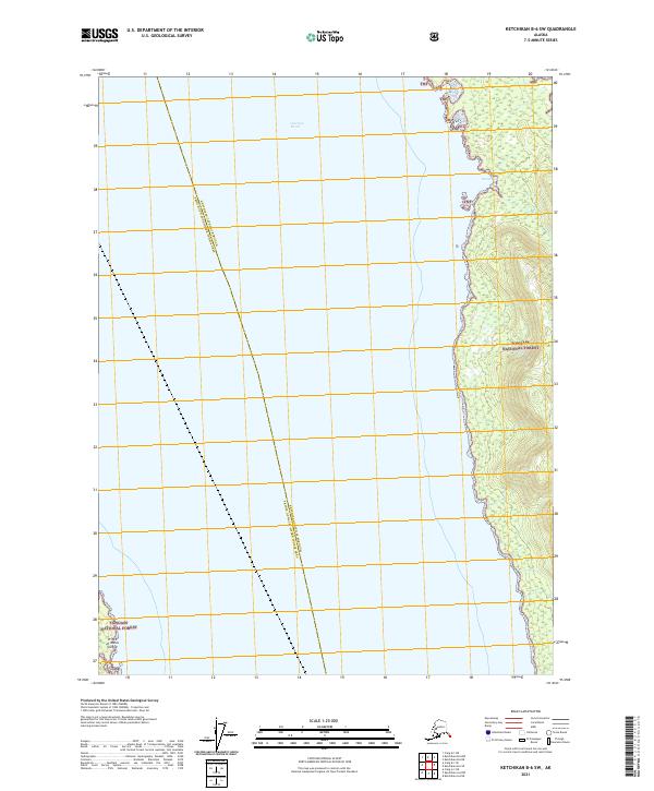
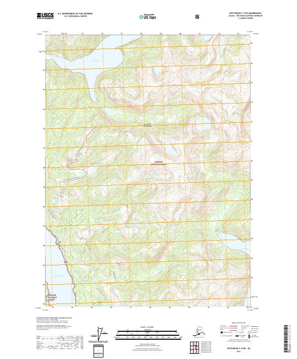
2017 Ketchikan D-5 SW
Ketchikan Gateway Borough, AK
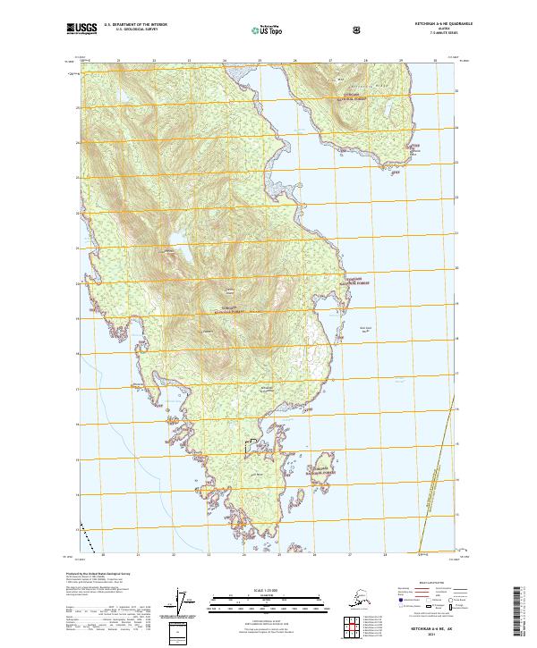
2021 Ketchikan A-6 NE
Ketchikan Gateway Borough, AK
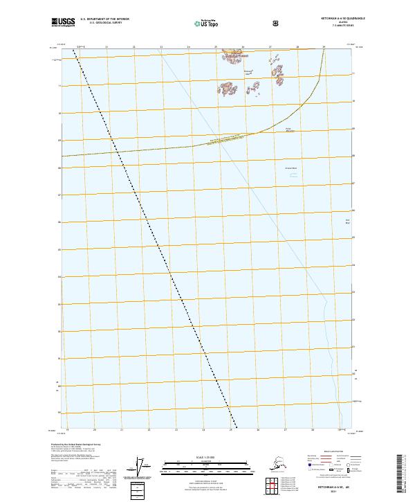
2021 Ketchikan A-6 SE
Ketchikan Gateway Borough, AK
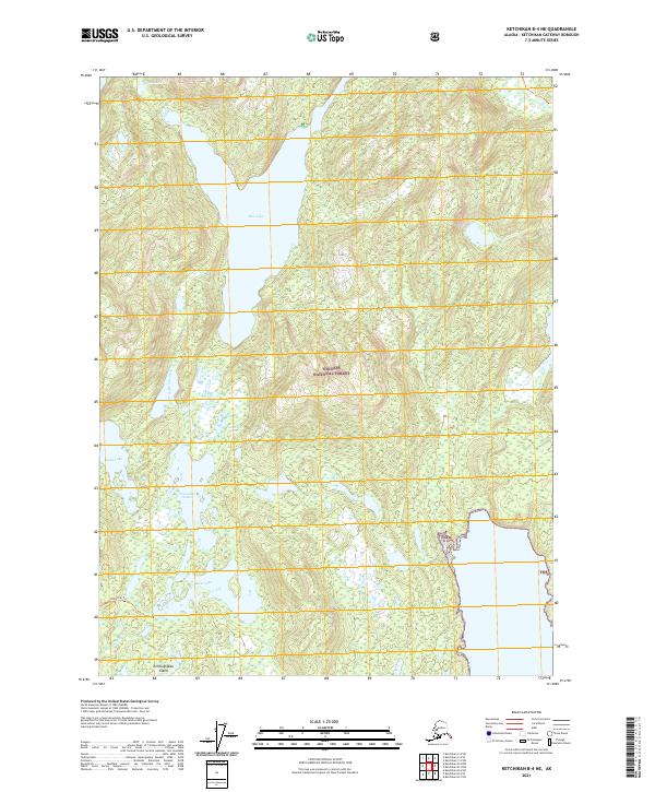
2021 Ketchikan B-4 NE
Ketchikan Gateway Borough, AK
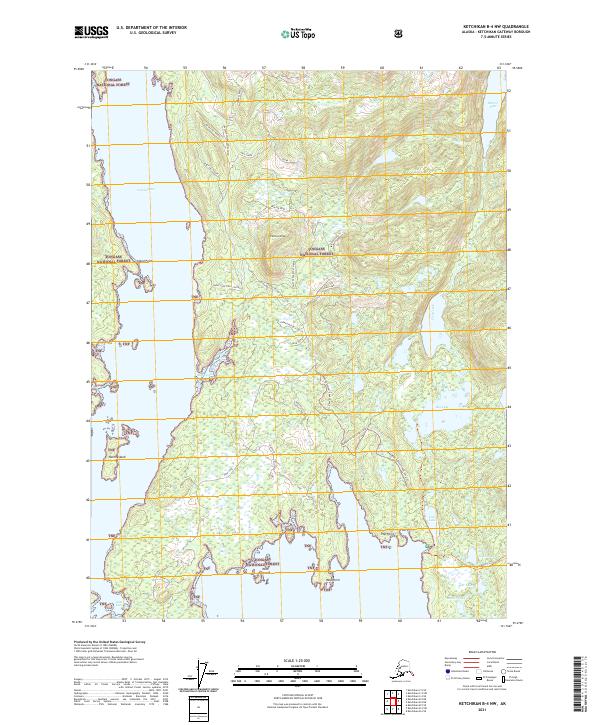
2021 Ketchikan B-4 NW
Ketchikan Gateway Borough, AK
2021 Ketchikan B-4 SE
Ketchikan Gateway Borough, AK
2021 Ketchikan B-4 SW
Ketchikan Gateway Borough, AK
2021 Ketchikan B-5 NE
Ketchikan Gateway Borough, AK
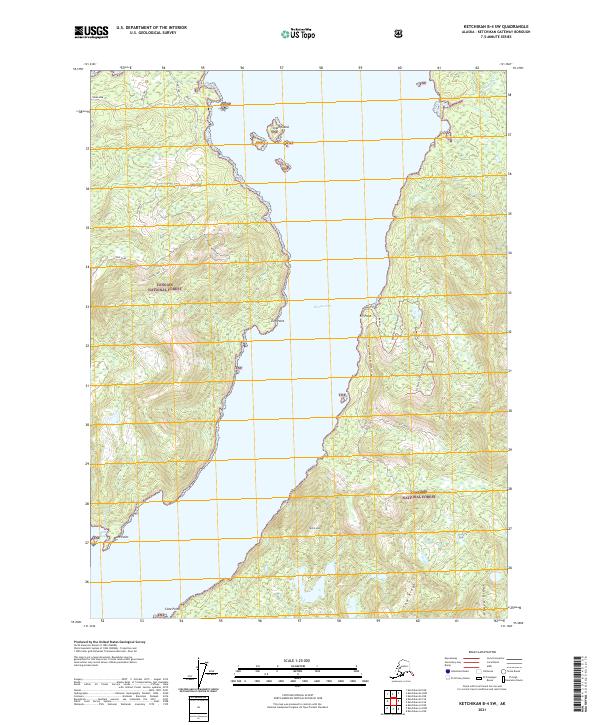
2021 Ketchikan B-5 NW
Ketchikan Gateway Borough, AK
2021 Ketchikan B-5 SE
Ketchikan Gateway Borough, AK
2021 Ketchikan B-5 SW
Ketchikan Gateway Borough, AK
2021 Ketchikan B-6 NE
Ketchikan Gateway Borough, AK
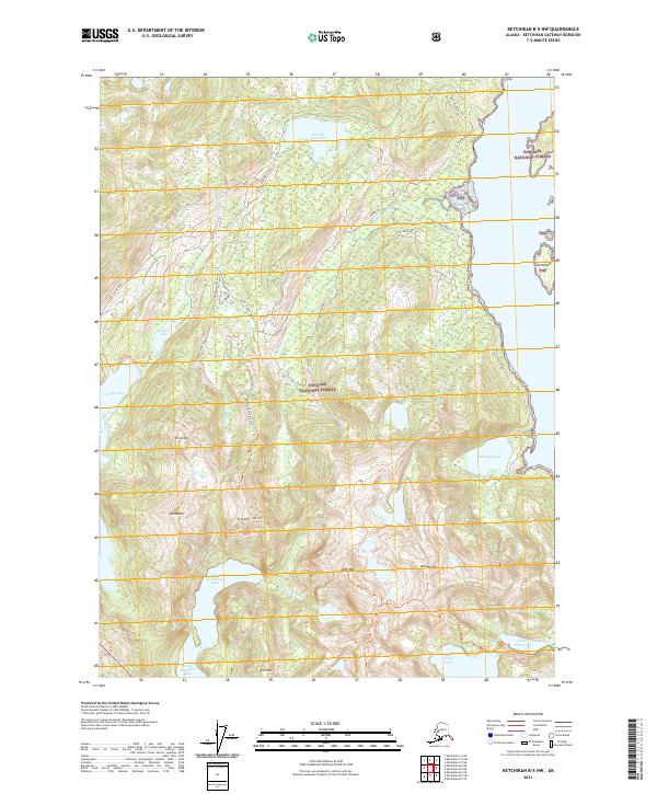
2021 Ketchikan B-6 NW
Ketchikan Gateway Borough, AK
2021 Ketchikan B-6 SE
Ketchikan Gateway Borough, AK
2021 Ketchikan B-6 SW
Ketchikan Gateway Borough, AK
2021 Ketchikan C-4 NE
Ketchikan Gateway Borough, AK
2021 Ketchikan C-4 NW
Ketchikan Gateway Borough, AK
2021 Ketchikan C-4 SE
Ketchikan Gateway Borough, AK
2021 Ketchikan C-4 SW
Ketchikan Gateway Borough, AK
2021 Ketchikan C-5 NE
Ketchikan Gateway Borough, AK
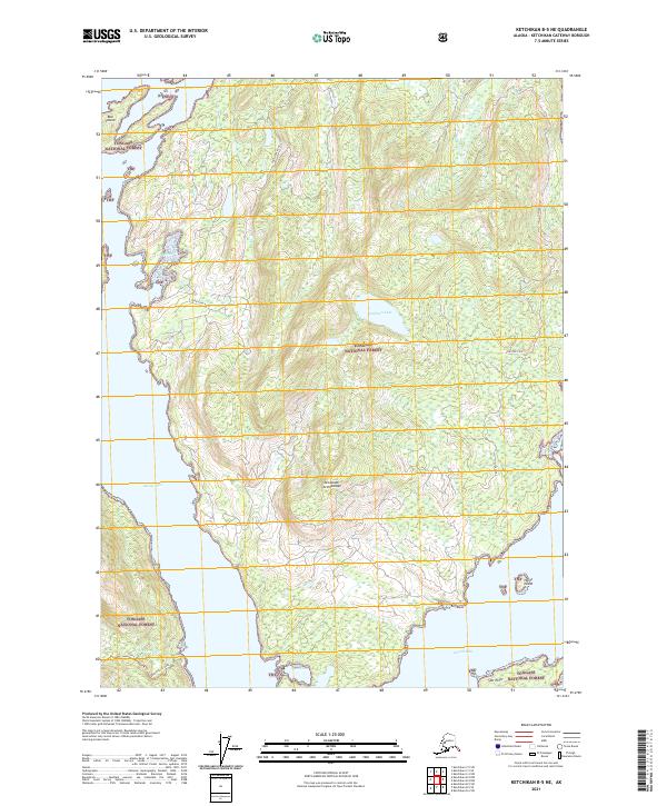
2021 Ketchikan C-5 NW
Ketchikan Gateway Borough, AK
2021 Ketchikan C-5 SE
Ketchikan Gateway Borough, AK
2021 Ketchikan C-5 SW
Ketchikan Gateway Borough, AK
2021 Ketchikan C-6 NE
Ketchikan Gateway Borough, AK
2021 Ketchikan C-6 SE
Ketchikan Gateway Borough, AK
2021 Ketchikan C-6 SW
Ketchikan Gateway Borough, AK
2021 Ketchikan D-4 NW
Ketchikan Gateway Borough, AK
2021 Ketchikan D-4 SE
Ketchikan Gateway Borough, AK
2021 Ketchikan D-4 SW
Ketchikan Gateway Borough, AK
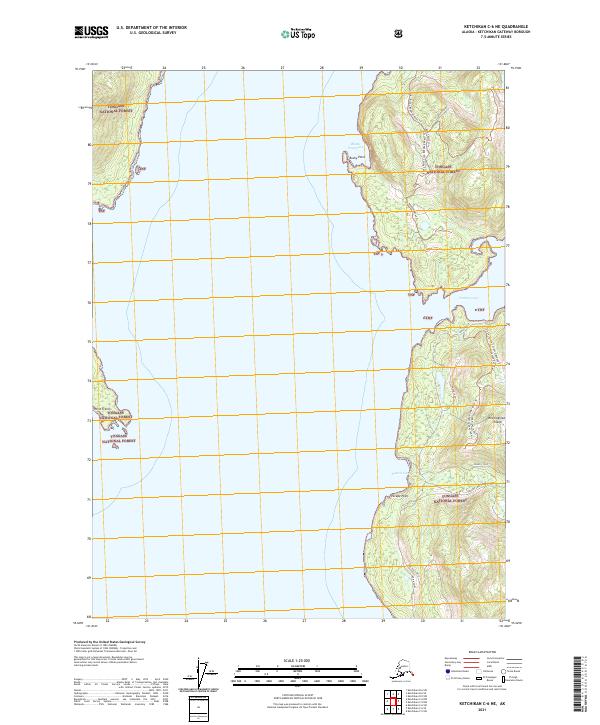
2021 Ketchikan D-5 NE
Ketchikan Gateway Borough, AK
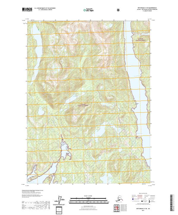
2021 Ketchikan D-5 SE
Ketchikan Gateway Borough, AK
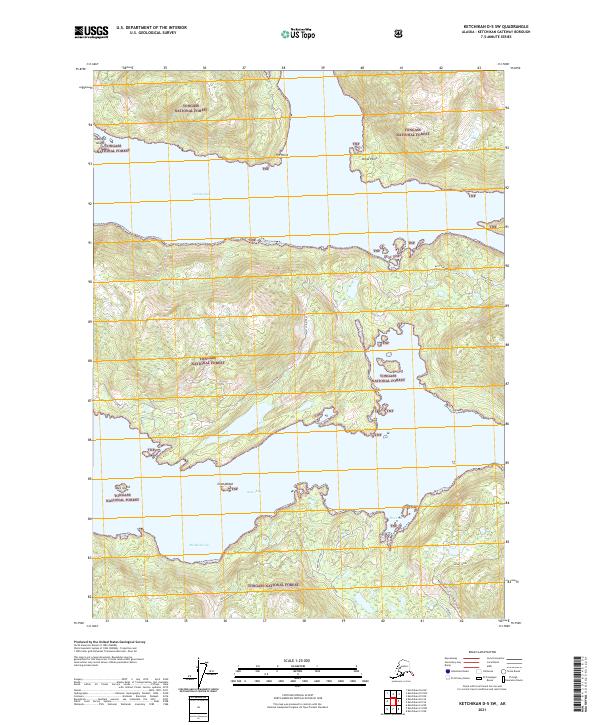
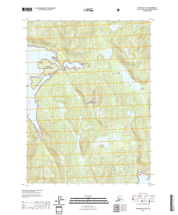
2021 Ketchikan D-5 SW
Ketchikan Gateway Borough, AK