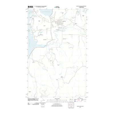
2011 Map of Kettle Falls
USGS Topo · Published 2011About this map
Franklin D Roosevelt Lake dominates the western edge of this Stevens County landscape, where the Colville River flows toward its confluence near the modern town of Kettle Falls. The area's industrial and mining heritage is written across the terrain, with numerous historical extraction sites including the Grey Eagle Mine and Blue Grouse Mine located in the hills. Water management and local industry are further evidenced by features like the Meyers Falls Dam and the Boise Cascade Mill Waste Pond. Smaller settlements and markers of local history, such as Ward, Greenwood, and the Meyers Falls Cemetery, provide a framework for genealogists tracing family ties to this river valley. From the heights of Mission Ridge to the isolated Cousins Cabin, the map reflects a region defined by its timber and mineral resources.
Find a feature on this map
87 named features on this map. Tap any name to fly to it.
Don’t see what you’re looking for? This feature index may not catch every label — zoom into the map to look around manually.
Map Details
Editions of this 2011 Kettle Falls Map
This is the sole edition of this map. No revisions or reprints were ever made.
Other maps of this area

1927 · Chewelah
USGS Topo · 1:125,000

1929 · Colville
USGS Topo · 1:125,000

1930 · Chewelah
USGS Topo · 1:125,000

1933 · Colville
USGS Topo · 1:125,000

1936 · Marcus
USGS Topo · 1:96,000

1942 · Marcus
USGS Topo · 1:125,000

1948 · Kettle Falls
USGS Topo · 1:62,500

1950 · Inchelium
USGS Topo · 1:62,500

1951 · Kettle Falls
USGS Topo · 1:62,500

1952 · Echo Valley
USGS Topo · 1:24,000