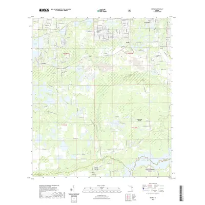
2021 Map of Keuka
USGS Topo · Published 2021About this map
Interlachen and the surrounding lake country of Putnam County define this 2021 landscape, where the water table dominates the geography. The northern reaches are characterized by a dense cluster of named water bodies, including Lake Galilee, Ladys-Slipper Lake, and Lake Lagonda, interspersed with residential developments and the small community of Keuka. A network of unpaved roads and trails, such as the Putnam County Blueways Trl and Hog Valley Trl, suggests a region deeply connected to outdoor recreation and rural life.
Find a feature on this map
125 named features on this map. Tap any name to fly to it.
Don’t see what you’re looking for? This feature index may not catch every label — zoom into the map to look around manually.
Map Details
Editions of this 2021 Keuka Map
This is the sole edition of this map. No revisions or reprints were ever made.
Other maps of this area

1893 · Citra
USGS Topo · 1:62,500

1895 · Citra
USGS Topo · 1:62,500

1915 · Interlachen
USGS Topo · 1:48,000

1916 · Interlachen
USGS Topo · 1:62,500

1938 · Hawthorn
USGS Topo · 1:48,000

1943 · Hawthorn
USGS Topo · 1:62,500

1944 · Interlachen
USGS Topo · 1:62,500

1949 · Keuka
USGS Topo · 1:24,000

1949 · Baywood
USGS Topo · 1:24,000

1949 · Rodman
USGS Topo · 1:24,000