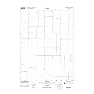
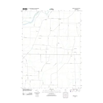
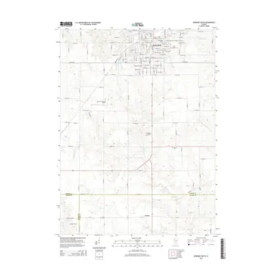
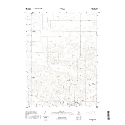
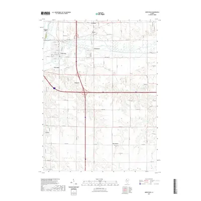
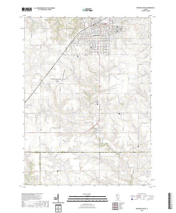
1983 Map of Kewanee South
USGS Topo · Published 1984About this map
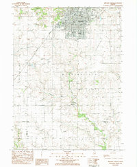
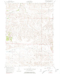
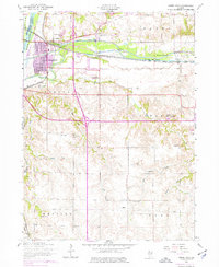
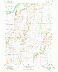
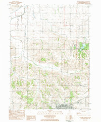
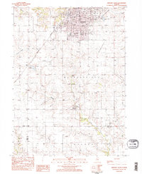
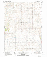
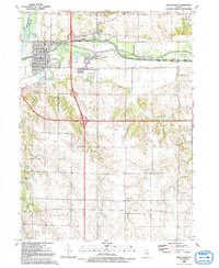
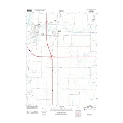
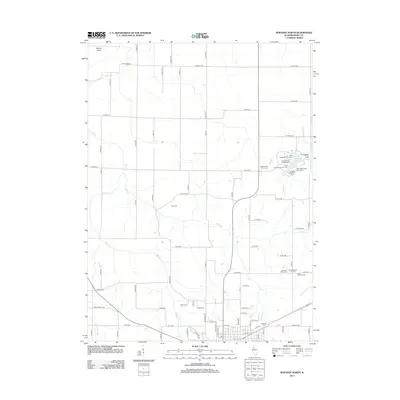
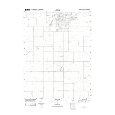
The city of Kewanee serves as the industrial and educational hub of this region in the early 1980s, where the Burlington Northern railroad corridor and local education infrastructure anchor the community. The map illustrates a dense concentration of civic life, from Visitation Sch and Wethersfield High Sch to the Black Hawk College (East Campus) positioned along Indian Creek. Outside the urban center, the landscape is defined by the agricultural expanses of Wethersfield and Goshen, where numerous family and community burial grounds like Saxon Cem and Cavanagh Cem are preserved among the fields. The drainage patterns of the Edwards River and West Fork Spoon River reveal the natural topography that shaped early settlement and transit routes through Henry, Stark, and Knox counties.
Find a feature on this map
41 named features on this map. Tap any name to fly to it.
Don’t see what you’re looking for? This feature index may not catch every label — zoom into the map to look around manually.
Map Details
Editions of this 1983 Kewanee South Map
2 editions found
Historical Maps of Kewanee Through Time
32 maps found
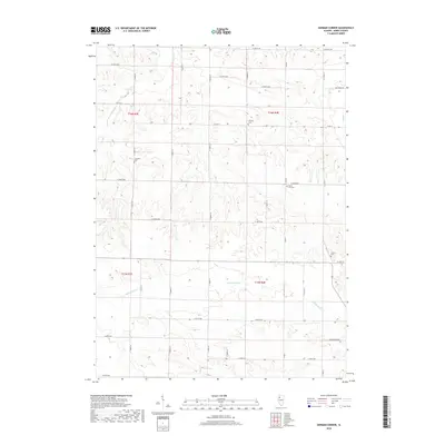
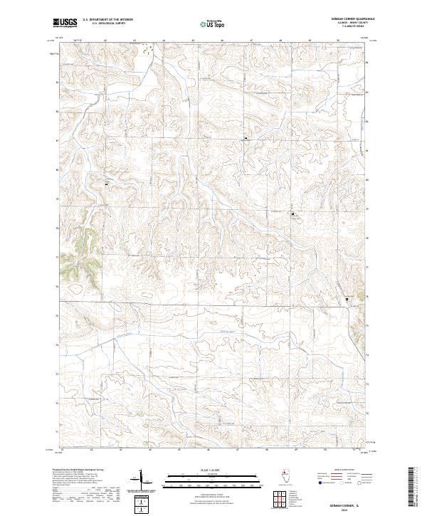
1953 German Corner
Henry County, IL
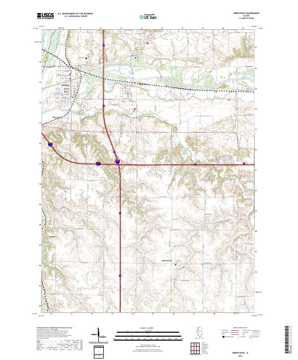
1953 Green Rock
Henry County, IL
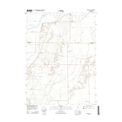
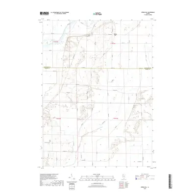
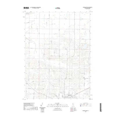
1982 Spring Hill
Henry County, IL
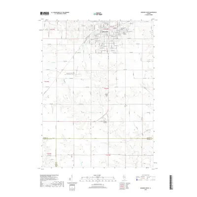
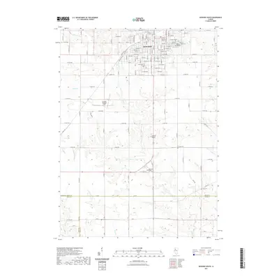
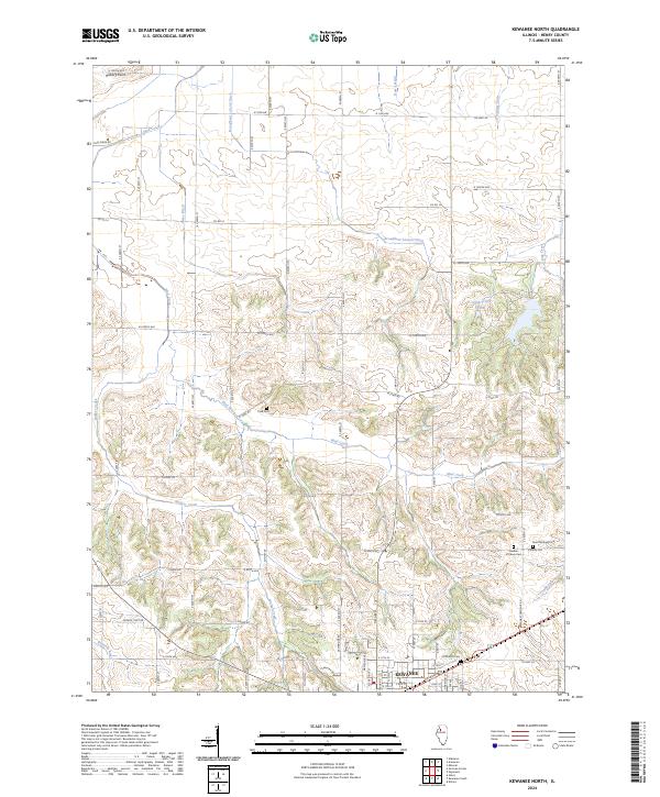
1983 Kewanee North
Henry County, IL
1983 Kewanee South
Henry County, IL
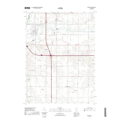
1991 German Corner
Henry County, IL
1992 Green Rock
Henry County, IL
2012 German Corner
Henry County, IL
2012 Green Rock
Henry County, IL
2012 Kewanee North
Henry County, IL
2012 Kewanee South
Henry County, IL
2012 Spring Hill
Henry County, IL
2015 German Corner
Henry County, IL
2015 Green Rock
Henry County, IL
2015 Kewanee North
Henry County, IL
2015 Kewanee South
Henry County, IL
2015 Spring Hill
Henry County, IL
2018 German Corner
Henry County, IL
2018 Green Rock
Henry County, IL
2018 Kewanee North
Henry County, IL
2018 Kewanee South
Henry County, IL
2018 Spring Hill
Henry County, IL
2021 German Corner
Henry County, IL
2021 Green Rock
Henry County, IL
2021 Kewanee North
Henry County, IL
2021 Kewanee South
Henry County, IL
2021 Spring Hill
Henry County, IL
2024 German Corner
Henry County, IL
2024 Green Rock
Henry County, IL
2024 Kewanee North
Henry County, IL
2024 Kewanee South
Henry County, IL
2024 Spring Hill
Henry County, IL