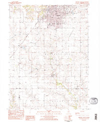
1983 Map of Kewanee South
USGS Topo · Published 1984About this map
The industrial and educational hub of Kewanee anchors this 1980s landscape, where the urban grid meets the agricultural reaches of Henry and Stark Counties. The southern half of the city is densely mapped with civic landmarks like City Hall, Public Hospital, and the Wethersfield High School campus. Significant institutional footprints are visible at Black Hawk College near Indian Creek, reflecting the regional importance of the area’s community education system during this era.
Find a feature on this map
49 named features on this map. Tap any name to fly to it.
Don’t see what you’re looking for? This feature index may not catch every label — zoom into the map to look around manually.
Map Details
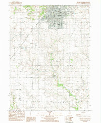
Editions of this 1983 Kewanee South Map
2 editions found
Other maps of this area

1929 · Annawan
USGS Topo · 1:62,500

1931 · Galva
USGS Topo · 1:48,000

1932 · Annawan
USGS Topo · 1:62,500

1934 · Geneseo
USGS Topo · 1:62,500

1940 · Galva
USGS Topo · 1:62,500

1944 · Galva
USGS Topo · 1:62,500

1944 · Kewanee
USGS Topo · 1:62,500

1953 · German Corner
USGS Topo · 1:24,000
1953 · Galva
USGS Topo · 1:24,000

1958 · Davenport
USGS Topo · 1:250,000