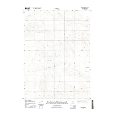
2015 Map of Keyapaha SE
USGS Topo · Published 2015About this map
The Keya Paha River winds through this section of Tripp County, defining a landscape marked by the dendritic drainage patterns of Shadley Cr and Sand Cr. This 2015 survey reveals the enduring structure of the Public Land Survey System, with the terrain organized into townships t96n r78w and t95n r78w. The area is characterized by a high-plateau environment where the section-line road network is dominated by numbered routes like 300th St and 303rd St. Central to the north-south transit is SD Hwy 53, which cuts through the western sections. The map provides a clear record of land use and hydrology before further modern development, capturing the sparse residential layout along corridors such as Baker St.
Find a feature on this map
17 named features on this map. Tap any name to fly to it.
Don’t see what you’re looking for? This feature index may not catch every label — zoom into the map to look around manually.
Map Details
Editions of this 2015 Keyapaha SE Map
This is the sole edition of this map. No revisions or reprints were ever made.
Other maps of this area

1950 · Norden
USGS Topo · 1:62,500

1952 · Norden
USGS Topo · 1:62,500

1955 · Martin
USGS Topo · 1:250,000

1955 · Mitchell
USGS Topo · 1:250,000

1955 · O'Neill
USGS Topo · 1:250,000

1957 · Valentine
USGS Topo · 1:250,000

1958 · Martin
USGS Topo · 1:250,000

1959 · Valentine
USGS Topo · 1:250,000

1959 · O'Neill
USGS Topo · 1:250,000

1959 · Mitchell
USGS Topo · 1:250,000