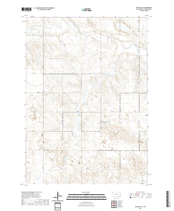
2021 Map of Keyapaha SE
USGS Topo · Published 2021About this map
The Keya Paha River winds through the northern reaches of this Tripp County landscape, defining the local drainage patterns alongside tributaries like Sand Cr and Shadley Cr. This 2021 survey reveals a strictly organized rural grid system, where section lines are traced by gravel and dirt roads such as 296th St and 304th Ave. The terrain is characterized by the subtle topographical variations of the Great Plains, showing how the natural hydrology of the Shadley Cr basin dictates the placement of river crossings and access points within the Public Land Survey System sections of t96n r78w and t95n r78w. This map is a clear record of modern land management and road networks in a sparsely populated agricultural region of South Dakota.
Find a feature on this map
20 named features on this map. Tap any name to fly to it.
Don’t see what you’re looking for? This feature index may not catch every label — zoom into the map to look around manually.
Map Details
Editions of this 2021 Keyapaha SE Map
This is the sole edition of this map. No revisions or reprints were ever made.
Other maps of this area

1950 · Norden
USGS Topo · 1:62,500

1952 · Norden
USGS Topo · 1:62,500

1955 · Martin
USGS Topo · 1:250,000

1955 · Mitchell
USGS Topo · 1:250,000

1955 · O'Neill
USGS Topo · 1:250,000

1957 · Valentine
USGS Topo · 1:250,000

1958 · Martin
USGS Topo · 1:250,000

1959 · Valentine
USGS Topo · 1:250,000

1959 · O'Neill
USGS Topo · 1:250,000

1959 · Mitchell
USGS Topo · 1:250,000