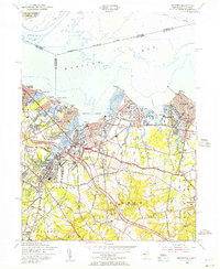
1954 Map of Keyport
USGS Topo · Published 1956About this map
The New York and Long Branch Railroad and the newly established Garden State Parkway dominate this mid-century coastal corridor, illustrating a transition between rail-dependent town centers and early suburban expansion. Significant industrial and maritime infrastructure is visible along the shores of Keyport Harbor, where Keyport and Union Beach serve as primary hubs. To the south, the landscape shifts toward the high ground of the Mount Pleasant Hills, featuring prominent landmarks like Telegraph Hill and Crawford Hill. Local history is preserved in the detailed mapping of neighborhood corners and rural cemeteries, including Rose Hill Cem near Matawan and the family-named Hendrickson Corners. The presence of Lake Lefferts and numerous tidal creeks like Waackaack Creek highlights the intricate drainage system feeding into the Raritan Bay, a defining feature for the region's development.
Find a feature on this map
72 named features on this map. Tap any name to fly to it.
Don’t see what you’re looking for? This feature index may not catch every label — zoom into the map to look around manually.
Map Details
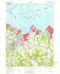
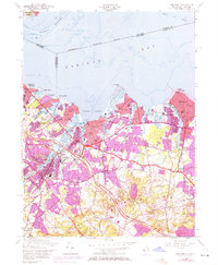
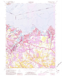
Editions of this 1954 Keyport Map
4 editions found
Other maps of this area

1888 · Plainfield
USGS Topo · 1:62,500

1888 · New Brunswick
USGS Topo · 1:62,500

1888 · Sandy Hook
USGS Topo · 1:62,500

1893 · New Brunswick
USGS Topo · 1:62,500

1893 · Plainfield
USGS Topo · 1:62,500

1893 · Sandy Hook
USGS Topo · 1:62,500

1898 · Plainfield
USGS Topo · 1:62,500

1898 · Staten Island
USGS Topo · 1:62,500

1900 · Passaic
USGS Topo · 1:125,000

1900 · Staten Island
USGS Topo · 1:62,500