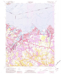
1954 Map of Keyport
USGS Topo · Published 1981About this map
Keyport and the surrounding Monmouth County shoreline appear at a period of significant mid-century transition. The Garden State Parkway cuts through the landscape, signaling the post-war suburban shift that was reshaping communities like Hazlet, Matawan, and Union Beach. Along the waterfront, the commercial and nautical character of the Keyport Harbor and Raritan Bay remains central, with the New York and Long Branch Railroad providing critical transit links for these coastal towns.
Find a feature on this map
71 named features on this map. Tap any name to fly to it.
Don’t see what you’re looking for? This feature index may not catch every label — zoom into the map to look around manually.
Map Details
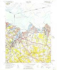
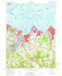
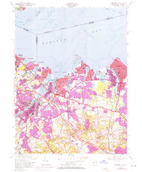
Editions of this 1954 Keyport Map
4 editions found
Other maps of this area

1888 · Plainfield
USGS Topo · 1:62,500

1888 · New Brunswick
USGS Topo · 1:62,500

1888 · Sandy Hook
USGS Topo · 1:62,500

1893 · New Brunswick
USGS Topo · 1:62,500

1893 · Plainfield
USGS Topo · 1:62,500

1893 · Sandy Hook
USGS Topo · 1:62,500

1898 · Plainfield
USGS Topo · 1:62,500

1898 · Staten Island
USGS Topo · 1:62,500

1900 · Passaic
USGS Topo · 1:125,000

1900 · Staten Island
USGS Topo · 1:62,500