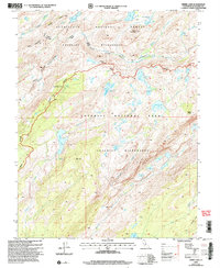
2001 Map of Kibbie Lake
USGS Topo · Published 2004About this map
Yosemite National Park and the Emigrant Wilderness meet at the granite-etched boundary between the high Sierra backcountry and the Stanislaus National Forest. At the start of the 21st century, this landscape was defined by its glacial hydrology and remote outposts, such as the Sachse Ranger Cabin located near Sachse Spring. The drainage network is complex, featuring the deep Cherry Creek Canyon and the high-elevation waters of Kibbie Lake, Hyatt Lake, and Flora Lake.
Find a feature on this map
38 named features on this map. Tap any name to fly to it.
Don’t see what you’re looking for? This feature index may not catch every label — zoom into the map to look around manually.
Map Details
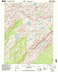
Editions of this 2001 Kibbie Lake Map
2 editions found
Other maps of this area

1896 · Dardanelles
USGS Topo · 1:125,000

1897 · Yosemite
USGS Topo · 1:125,000

1898 · Dardanelles
USGS Topo · 1:125,000

1900 · Yosemite
USGS Topo · 1:125,000

1903 · Yosemite
USGS Topo · 1:125,000

1909 · Yosemite
USGS Topo · 1:125,000

1947 · Mariposa
USGS Topo · 1:250,000

1948 · Walker Lake
USGS Topo · 1:250,000

1948 · Mariposa
USGS Topo · 1:250,000

1956 · Pinecrest
USGS Topo · 1:62,500