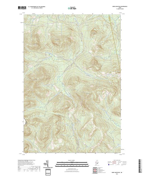
2024 Map of Kibby Mountain
USGS Topo · Published 2024About this map
Kibby Mtn and Caribou Mtn define this high-altitude frontier along the Can Usa international boundary. This modern survey reveals a landscape dominated by the complex drainage systems of the West Branch Moose River and East Branch Moose River, where numerous smaller tributaries like Number Six Brook and Smart Brook feed into broader basins. The presence of Spencer Bale Rd, Gold Brook Rd, and Kibby Mountain Rd suggests a network of access for forestry or recreation in an otherwise unsettled mountain territory. Significant wetland features like Spencer Bog and Caribou Flow indicate low-lying saturation zones tucked between prominent peaks such as King Mtn and Smart Mtn, documenting the contemporary hydrology of the northern woods.
Find a feature on this map
33 named features on this map. Tap any name to fly to it.
Don’t see what you’re looking for? This feature index may not catch every label — zoom into the map to look around manually.
Map Details
Editions of this 2024 Kibby Mountain Map
This is the sole edition of this map. No revisions or reprints were ever made.
Other maps of this area

1923 · Attean
USGS Topo · 1:62,500

1925 · Attean
USGS Topo · 1:62,500

1928 · Chain Lakes
USGS Topo · 1:48,000

1928 · Skinner
USGS Topo · 1:48,000

1928 · Spencer
USGS Topo · 1:48,000

1931 · Skinner
USGS Topo · 1:62,500

1932 · Spencer
USGS Topo · 1:62,500

1932 · Chain Lakes
USGS Topo · 1:62,500

1935 · Chain Lakes
USGS Topo · 1:62,500

1949 · Jackman
USGS Topo · 1:250,000