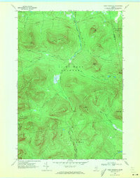
1970 Map of Kibby Mountain
USGS Topo · Published 1973About this map
The high peaks of the Maine boundary mountains dominate this 1970 field-checked survey, centered on the prominent Kibby Mountain and its Lookout Tower. This remote stretch of Franklin and Somerset Counties is defined by the headwaters of the South Branch Moose River and West Branch Spencer Stream. The landscape is etched with the logging infrastructure of the mid-20th century, featuring an extensive network of unimproved roads such as Beaudry Road and Appleton Road that snake through the townships of Skinner and Kibby. Evidence of localized industry appears at a Gravel Pit near the northern boundary, while the topography rises steeply toward Caribou Mountain and Spencer Bale Mtn. The map documents a specific moment in the commercial forestry era before modern reforestation and changing road patterns altered the accessibility of these highlands.
Find a feature on this map
38 named features on this map. Tap any name to fly to it.
Don’t see what you’re looking for? This feature index may not catch every label — zoom into the map to look around manually.
Map Details
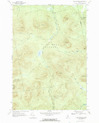
Editions of this 1970 Kibby Mountain Map
2 editions found
Other maps of this area

1923 · Attean
USGS Topo · 1:62,500

1925 · Attean
USGS Topo · 1:62,500

1928 · Chain Lakes
USGS Topo · 1:48,000

1928 · Skinner
USGS Topo · 1:48,000

1928 · Spencer
USGS Topo · 1:48,000

1931 · Skinner
USGS Topo · 1:62,500

1932 · Spencer
USGS Topo · 1:62,500

1932 · Chain Lakes
USGS Topo · 1:62,500

1935 · Chain Lakes
USGS Topo · 1:62,500

1949 · Jackman
USGS Topo · 1:250,000