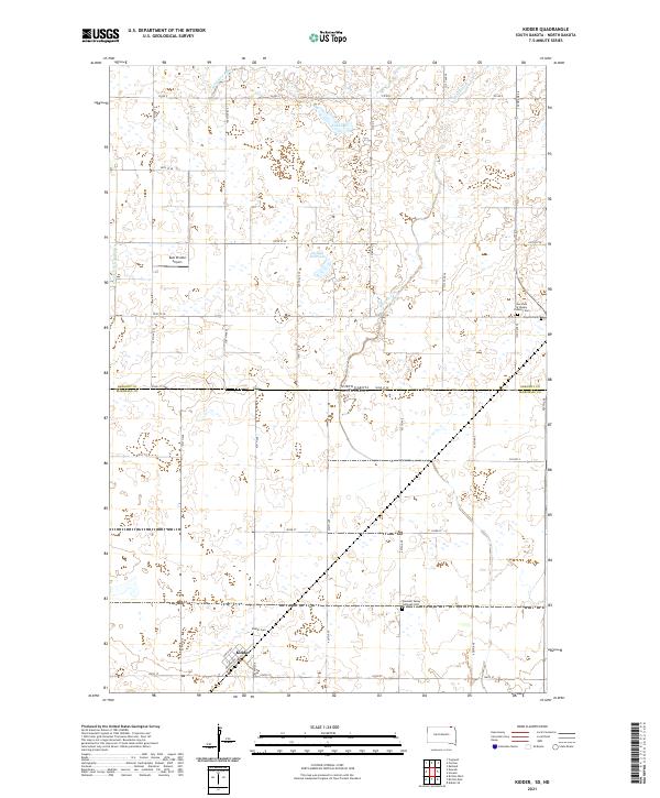
2021 Map of Kidder
USGS Topo · Published 2021About this map
Kidder sits just south of the state line, anchoring a landscape where the Wild Rice River and Wild Rice Cr meander through the prairie of Marshall County. This 2021 survey reveals a quiet agricultural region defined by its section-line roads and scattered water bodies like Lake Dell and Golden Hill Lake. The area's social and spiritual history is preserved in its local landmarks, including the Pleasant Valley Lutheran Ch and Our Lady of Rosary Catholic Ch, which serve the rural population alongside the Clayton Cem and Kidder Cem. Transportation in the township is a mix of traditional county roads and the Dahl Private Airport, while drainage infrastructure like County Ditch Number 9 illustrates the long-term management of the local watershed for farming.
Find a feature on this map
39 named features on this map. Tap any name to fly to it.
Don’t see what you’re looking for? This feature index may not catch every label — zoom into the map to look around manually.
Map Details
Editions of this 2021 Kidder Map
This is the sole edition of this map. No revisions or reprints were ever made.
Other maps of this area

1953 · Britton East
USGS Topo · 1:24,000

1953 · Kidder
USGS Topo · 1:24,000

1953 · Newark
USGS Topo · 1:24,000

1953 · Milbank
USGS Topo · 1:250,000

1953 · Fargo
USGS Topo · 1:250,000

1954 · Kidder SE
USGS Topo · 1:24,000

1956 · Fargo
USGS Topo · 1:250,000

1956 · Havana
USGS Topo · 1:24,000

1956 · Britton West
USGS Topo · 1:24,000

1957 · Cogswell
USGS Topo · 1:24,000