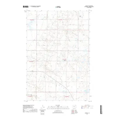
2017 Map of Kidder SE
USGS Topo · Published 2017About this map
Coteau des Prairies, the expansive plateau rising above the surrounding plains, dominates the topography of this Marshall County region. This high prairie landscape is defined by its glacial heritage, featuring a complex network of seasonal wetlands and drainage systems. Water bodies such as White Lake and the meandering Wild Rice Cr characterize the northern reaches, while the southern terrain is marked by Black Slough and Stink Slough.
Find a feature on this map
30 named features on this map. Tap any name to fly to it.
Don’t see what you’re looking for? This feature index may not catch every label — zoom into the map to look around manually.
Map Details
Editions of this 2017 Kidder SE Map
This is the sole edition of this map. No revisions or reprints were ever made.
Other maps of this area

1953 · Britton East
USGS Topo · 1:24,000

1953 · Kidder
USGS Topo · 1:24,000

1953 · Milbank
USGS Topo · 1:250,000

1954 · Kidder SE
USGS Topo · 1:24,000

1956 · Havana
USGS Topo · 1:24,000

1958 · Milbank
USGS Topo · 1:250,000

1958 · Britton 4 NW
USGS Topo · 1:24,000

1958 · Hillhead
USGS Topo · 1:24,000

1958 · Marlow
USGS Topo · 1:24,000

1970 · Britton 4 NE
USGS Topo · 1:24,000