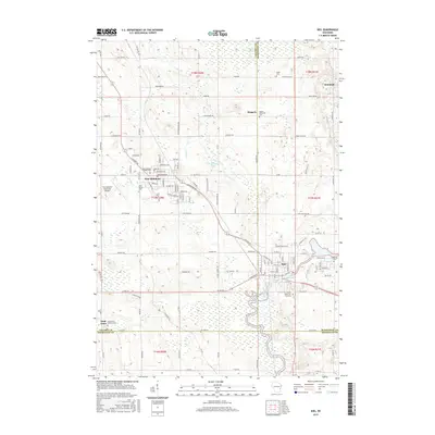
2015 Map of Kiel
USGS Topo · Published 2015About this map
The city of Kiel and the nearby town of New Holstein anchor this 2015 survey of east-central Wisconsin, where the borders of Calumet, Manitowoc, and Sheboygan counties meet. The landscape is defined by the winding course of the Sheboygan River, which flows through the heart of Kiel near the 150 Reservoir. The region retains a strong connection to its early rural foundations, evidenced by numerous small burial grounds and parish churches like the Saint Anna Catholic Cem and Saints Peter and Paul Cem. Settlement patterns remain clustered around these traditional centers, with small communities like Steinthal, Meggers, and Saint Anna dotting the countryside between larger municipal hubs. Significant wetlands and water bodies, including Hayton Marsh and Schildhauer Pond, break up the grid of agricultural roads, while the New Holstein Municipal Airport reflects the area's modern infrastructure development.
Find a feature on this map
72 named features on this map. Tap any name to fly to it.
Don’t see what you’re looking for? This feature index may not catch every label — zoom into the map to look around manually.
Map Details
Editions of this 2015 Kiel Map
This is the sole edition of this map. No revisions or reprints were ever made.
Other maps of this area

1954 · School Hill
USGS Topo · 1:24,000

1954 · Howards Grove
USGS Topo · 1:62,500

1954 · Chilton
USGS Topo · 1:62,500

1954 · Reedsville
USGS Topo · 1:62,500

1954 · Franklin
USGS Topo · 1:24,000

1954 · Kiel
USGS Topo · 1:62,500

1954 · Milwaukee
USGS Topo · 1:250,000

1954 · Manitowoc
USGS Topo · 1:250,000

1955 · Green Bay
USGS Topo · 1:250,000

1957 · Madison
USGS Topo · 1:250,000